UN
7 Mallory Close
£ 232,500
Description
We don't have a Description for this property.
- Bedrooms
- 3
- Bathrooms
- 0
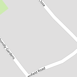
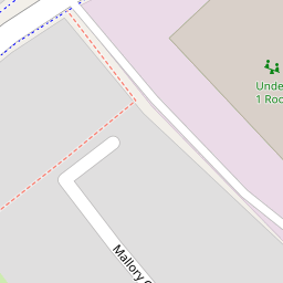


Leaflet © OpenStreetMap contributors
The heatmap indicates the level of crime in the area. The color of the heatmap indicates the crime severity and recency.
Metrics Year-on-Year
- Average area value
- 676,403.00 £Increased by 11.59 %
- Average area rental value
- 2,002.00 £/moIncreased by 2.40 %
- Est rental Yield
- 3.55 %Decreased by 8.27 %
- Crime Rate
- 3.00 %Unchanged by 0.00 %
from 606,126.00 £
from 1,955.00 £/mo
from 3.87 %
from 3.00 %
Nearby Schools
| Name | Type | Ofsted | Distance |
|---|---|---|---|
| Foreland Fields School | Foundation Special School | Good | 0.30 KM |
| The Royal Harbour Academy | Foundation School | Requires improvement | 0.36 KM |
| Dame Janet Primary Academy | Academy Sponsor Led | Good | 1.01 KM |
| Bromstone Primary School, Broadstairs | Foundation School | Good | 1.05 KM |
| St Lawrence College Junior School | Other Independent School | 1.14 KM |
Images
Nearby Streets
| Name | Average Price | Average Sqft | Distance |
|---|---|---|---|
| Greenfield Road | £ 474,975 | 0 | 0.00 KM |
| Pysons Road | £ 320,929 | 0 | 0.00 KM |
| Piper Gardens | £ 255,000 | 0 | 0.00 KM |
| Martins Close | £ 274,375 | 0 | 0.00 KM |
| Bradley Road | £ 263,750 | 0 | 0.00 KM |
Nearby Transport
| Name | NLC | TLC | Distance |
|---|---|---|---|
| Ramsgate | 5023 | RAM | 1.14 KM |
| Dumpton Park | 5034 | DMP | 2.03 KM |
| Broadstairs | 5006 | BSR | 3.00 KM |
| Margate | 5018 | MAR | 5.55 KM |
| Westgate-On-Sea | 5195 | WGA | 8.44 KM |
Nearby Listings
| Address | Price | Type | Score | Distance |
|---|---|---|---|---|
| Mallory Close, Ramsgate, CT12 6TW | £ 450,000 | BUY | 8 / 10 | 0.01 KM |
| Greenfield Road, Ramsgate, CT12 | £ 495,000 | BUY | 8 / 10 | 0.10 KM |
| Greenfield Road, Ramsgate, Kent | £ 450,000 | BUY | 6 / 10 | 0.11 KM |
| Greenfield Road, Ramsgate, Kent | £ 425,000 | BUY | Unknown | 0.11 KM |
| Pysons Road, Ramsgate, Kent | £ 350,000 | BUY | Unknown | 0.16 KM |
Nearby Properties
| Address | Price | Distance |
|---|---|---|
| 19 Mallory Close | £ 288,000 | 0.00 KM |
| 7 Mallory Close | £ 232,500 | 0.00 KM |
| 4 Mallory Close | £ 180,000 | 0.00 KM |
| 12 Mallory Close | £ 185,000 | 0.00 KM |
| 22 Mallory Close | £ 353,000 | 0.00 KM |