UN
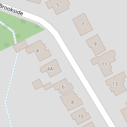
5 Brookside
£ 911,664
Description
We don't have a Description for this property.
- Bedrooms
- 4
- Bathrooms
- 0
- Furnished
- true


Leaflet © OpenStreetMap contributors
The heatmap indicates the level of crime in the area. The color of the heatmap indicates the crime severity and recency.
Metrics Year-on-Year
- Average area value
- 536,963.00 £Increased by 42.75 %
- Average area rental value
- 1,074.00 £/moDecreased by 2.98 %
- Est rental Yield
- 2.40 %Decreased by 32.01 %
- Crime Rate
- 7.00 %Unchanged by 0.00 %
from 376,146.00 £
from 1,107.00 £/mo
from 3.53 %
from 7.00 %
Nearby Schools
| Name | Type | Ofsted | Distance |
|---|---|---|---|
| Headington School | Other Independent School | 0.46 KM | |
| Cheney School | Academy Converter | Good | 0.63 KM |
| Oxford Brookes University | Higher Education Institutions | Good | 0.65 KM |
| Rye St Antony | Other Independent School | 0.97 KM | |
| St Andrew'S Church Of England Primary School | Voluntary Controlled School | Good | 1.04 KM |
Images
Nearby Streets
| Name | Average Price | Average Sqft | Distance |
|---|---|---|---|
| Brookside | £ 0 | 0 | 0.00 KM |
| Old Road | £ 850,000 | 0 | 0.00 KM |
| Norham Gardens | £ 0 | 0 | 0.00 KM |
| Fitness Trail | £ 0 | 0 | 0.00 KM |
| Cecil Sharp Place | £ 0 | 0 | 0.00 KM |
Nearby Transport
| Name | NLC | TLC | Distance |
|---|---|---|---|
| Oxford | 3115 | OXF | 5.82 KM |
| Islip | 3110 | ISP | 8.06 KM |
| Radley | 3118 | RAD | 8.20 KM |
| Oxford Parkway | 3121 | OXP | 8.23 KM |
Nearby Listings
| Address | Price | Type | Score | Distance |
|---|---|---|---|---|
| Brookside | £ 1,150,000 | BUY | 7 / 10 | 0.17 KM |
| Highfield Avenue, Central Headington | £ 995,000 | BUY | Unknown | 0.18 KM |
| Headington, Oxford, OX3 | £ 190,000 | BUY | Unknown | 0.19 KM |
| Headington, Oxford, OX3 | £ 200,000 | BUY | Unknown | 0.22 KM |
| Headington, Oxford, OX3 | £ 850,000 | BUY | 7 / 10 | 0.23 KM |
Nearby Properties
| Address | Price | Distance |
|---|---|---|
| 5 Brookside | £ 911,664 | 0.00 KM |
| The Pines | £ 775,000 | 0.00 KM |
| 11 Brookside | £ 1,380,000 | 0.00 KM |
| 15 Brookside | £ 1,943,000 | 0.00 KM |
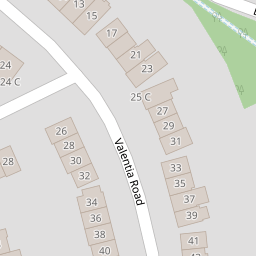
| 1 Valentia Road | £ 325,000 | 0.13 KM |