UN
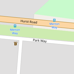
11 Park Way
£ 866,000
Description
We don't have a Description for this property.
- Bedrooms
- 3
- Bathrooms
- 0

Leaflet © OpenStreetMap contributors
The heatmap indicates the level of crime in the area. The color of the heatmap indicates the crime severity and recency.
Metrics Year-on-Year
- Average area value
- 848,325.00 £Increased by 25.99 %
- Average area rental value
- 2,216.00 £/moIncreased by 7.89 %
- Est rental Yield
- 3.13 %Decreased by 14.48 %
- Crime Rate
- 2.00 %Unchanged by 0.00 %
from 673,301.00 £
from 2,054.00 £/mo
from 3.66 %
from 2.00 %
Nearby Schools
| Name | Type | Ofsted | Distance |
|---|---|---|---|
| St Lawrence Cofe Aided Junior School, East Molesey | Voluntary Aided School | Good | 0.68 KM |
| Twickenham Preparatory School | Other Independent School | 0.88 KM | |
| St Alban'S Catholic Primary School | Academy Converter | Good | 0.92 KM |
| Chandlers Field Primary School | Foundation School | Good | 1.39 KM |
| Hurst Park Primary School | Community School | Good | 1.44 KM |
Images
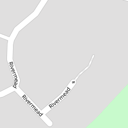
Nearby Streets
| Name | Average Price | Average Sqft | Distance |
|---|---|---|---|
| Park Way | £ 890,000 | 0 | 0.00 KM |
| The Fairway | £ 536,667 | 0 | 0.00 KM |
| Bell Hill | £ 0 | 0 | 0.00 KM |
| Johnson's Drive | £ 0 | 0 | 0.00 KM |
| Post Office Passage | £ 325,000 | 0 | 0.00 KM |
Nearby Transport
| Name | NLC | TLC | Distance |
|---|---|---|---|
| Hampton | 5560 | HMP | 1.62 KM |
| Hampton Court | 5561 | HMC | 2.02 KM |
| Thames Ditton | 5610 | THD | 3.09 KM |
| Esher | 5558 | ESH | 3.12 KM |
| Fulwell | 5587 | FLW | 3.23 KM |
Nearby Listings
| Address | Price | Type | Score | Distance |
|---|---|---|---|---|
| Park Way, West Molesey, KT8 | £ 1,150,000 | BUY | Unknown | 0.01 KM |
| Merton Way, West Molesey | £ 650,000 | BUY | 7 / 10 | 0.06 KM |
| Park Way, West Molesey | £ 1,150,000 | BUY | 8 / 10 | 0.08 KM |
| Rivermead, East Molesey, KT8 | £ 1,125,000 | BUY | 8 / 10 | 0.11 KM |
| Hurst Lane, East Molesey, KT8 | £ 1,200,000 | BUY | Unknown | 0.13 KM |
Nearby Properties
| Address | Price | Distance |
|---|---|---|
| 13 Park Way | £ 1,000,000 | 0.00 KM |
| 11 Park Way | £ 866,000 | 0.00 KM |
| 27 Park Way | £ 160,000 | 0.00 KM |
| 80 Hurst Lane | £ 585,000 | 0.12 KM |
| 86 Hurst Lane | £ 797,000 | 0.12 KM |