UN
Elmside
£ 360,000
Description
We don't have a Description for this property.
- Bedrooms
- 3
- Bathrooms
- 0
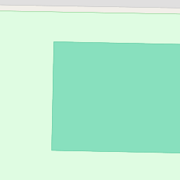
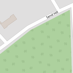

Leaflet © OpenStreetMap contributors
The heatmap indicates the level of crime in the area. The color of the heatmap indicates the crime severity and recency.
Metrics Year-on-Year
- Average area value
- 250,215.00 £Increased by 29.00 %
- Average area rental value
- 1,058.00 £/moIncreased by 8.51 %
- Est rental Yield
- 5.07 %Decreased by 15.92 %
- Crime Rate
- 32.00 %Unchanged by 0.00 %
from 193,963.00 £
from 975.00 £/mo
from 6.03 %
from 32.00 %
Nearby Schools
| Name | Type | Ofsted | Distance |
|---|---|---|---|
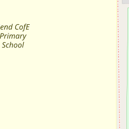
| Send Cofe Primary School | Voluntary Aided School | Good | 0.39 KM |
| Hoe Bridge School | Other Independent School | 2.54 KM | |
| Kingfield Primary School | Academy Converter | 3.18 KM | |
| Woking College | Academy 16-19 Converter | Good | 3.19 KM |
| Sythwood At Old Woking Sure Start Children'S Centre | Children's Centre Linked Site | 3.31 KM |
Images
Nearby Streets
| Name | Average Price | Average Sqft | Distance |
|---|---|---|---|
| Broadwood Rise | £ 750,000 | 0 | 0.00 KM |
| Porth Close | £ 1,375,000 | 0 | 0.00 KM |
| Brook Lane | £ 700,000 | 0 | 0.00 KM |
| Briar Road | £ 975,000 | 0 | 0.00 KM |
| Burnt Common Cottages | £ 0 | 0 | 0.00 KM |
Nearby Transport
| Name | NLC | TLC | Distance |
|---|---|---|---|
| Clandon | 5555 | CLA | 3.75 KM |
| Woking | 5685 | WOK | 4.78 KM |
| Worplesdon | 5686 | WPL | 6.14 KM |
| West Byfleet | 5684 | WBY | 6.24 KM |
| London Road (Guildford) | 5632 | LRD | 6.69 KM |
Nearby Listings
| Address | Price | Type | Score | Distance |
|---|---|---|---|---|
| Send Hill, Send, Surrey, GU23 | £ 500,000 | BUY | 7 / 10 | 0.14 KM |
| Send Road, Send, Woking, Surrey, GU23 | £ 550,000 | BUY | Unknown | 0.15 KM |
| Send, Surrey, GU23 | £ 530,000 | BUY | Unknown | 0.17 KM |
| Send Barns Lane, Send, Woking, GU23 | £ 515,000 | BUY | Unknown | 0.18 KM |
| Send Hill, Send, Woking, Surrey, GU23 | £ 700,000 | BUY | 7 / 10 | 0.18 KM |
Nearby Properties
| Address | Price | Distance |
|---|---|---|
| Tryfan | £ 490,000 | 0.00 KM |
| Chadlake Cottage | £ 785,000 | 0.00 KM |
| Watendlath | £ 310,000 | 0.00 KM |
| Newlands | £ 412,500 | 0.00 KM |
| Elmside | £ 360,000 | 0.00 KM |