UN
97 Liberty Lane
£ 545,000
Description
We don't have a Description for this property.
- Bedrooms
- 4
- Bathrooms
- 0
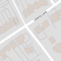
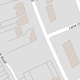
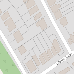
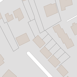
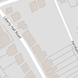
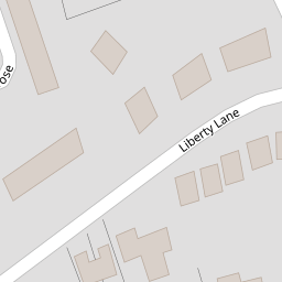

Leaflet © OpenStreetMap contributors
The heatmap indicates the level of crime in the area. The color of the heatmap indicates the crime severity and recency.
Metrics Year-on-Year
- Average area value
- 628,999.00 £Increased by 26.67 %
- Average area rental value
- 1,650.00 £/moDecreased by 23.36 %
- Est rental Yield
- 3.15 %Decreased by 39.42 %
- Crime Rate
- 5.00 %Unchanged by 0.00 %
from 496,557.00 £
from 2,153.00 £/mo
from 5.20 %
from 5.00 %
Nearby Schools
| Name | Type | Ofsted | Distance |
|---|---|---|---|
| Ongar Place Primary School | Community School | Good | 0.36 KM |
| Jubilee High School | Academy Sponsor Led | Good | 0.48 KM |
| St Paul'S Cofe Primary School | Academy Sponsor Led | Good | 0.51 KM |
| Holy Family Catholic Primary School | Academy Converter | Good | 0.56 KM |
| Sayes Court Sure Start Children'S Centre | Children's Centre | 0.72 KM |
Images
Nearby Streets
| Name | Average Price | Average Sqft | Distance |
|---|---|---|---|
| Orchard Way | £ 675,000 | 0 | 0.00 KM |
| Dale Close | £ 0 | 0 | 0.00 KM |
| Barton Close | £ 0 | 0 | 0.00 KM |
| M25 | £ 625,000 | 0 | 0.00 KM |
| Church Road | £ 699,950 | 0 | 0.00 KM |
Nearby Transport
| Name | NLC | TLC | Distance |
|---|---|---|---|
| Addlestone | 5550 | ASN | 1.91 KM |
| Chertsey | 5553 | CHY | 2.49 KM |
| Byfleet And New Haw | 5689 | BFN | 2.81 KM |
| West Byfleet | 5684 | WBY | 3.09 KM |
| Weybridge | 5577 | WYB | 4.75 KM |
Nearby Listings
| Address | Price | Type | Score | Distance |
|---|---|---|---|---|
| Liberty Lane, Addlestone, Surrey, KT15 | £ 500,000 | BUY | 7 / 10 | 0.04 KM |
| Conquest Road, Addlestone, Surrey, KT15 | £ 495,000 | BUY | Unknown | 0.08 KM |
| Conquest Road, Addlestone, KT15 | £ 625,000 | BUY | 7 / 10 | 0.11 KM |
| Liberty Lane, Addlestone, Surrey, KT15 | £ 700,000 | BUY | Unknown | 0.11 KM |
| Addlestone, Surrey, KT15 | £ 595,000 | BUY | 7 / 10 | 0.11 KM |
Nearby Properties
| Address | Price | Distance |
|---|---|---|
| 97 Liberty Lane | £ 545,000 | 0.00 KM |
| 132 Liberty Lane | £ 360,000 | 0.00 KM |
| 101 Liberty Lane | £ 320,000 | 0.00 KM |
| 134 Liberty Lane | £ 270,000 | 0.00 KM |
| 15 Conquest Road | £ 575,000 | 0.11 KM |