UN
10 Forestdale
£ 770,000
Description
We don't have a Description for this property.
- Bedrooms
- 4
- Bathrooms
- 0
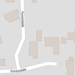


Leaflet © OpenStreetMap contributors
The heatmap indicates the level of crime in the area. The color of the heatmap indicates the crime severity and recency.
Metrics Year-on-Year
- Average area value
- 256,563.00 £Increased by 2.91 %
- Average area rental value
- 1,240.00 £/moIncreased by 12.12 %
- Est rental Yield
- 5.80 %Increased by 9.02 %
- Crime Rate
- 4.00 %Unchanged by 0.00 %
from 249,318.00 £
from 1,106.00 £/mo
from 5.32 %
from 4.00 %
Nearby Schools
| Name | Type | Ofsted | Distance |
|---|---|---|---|
| St Edmund'S School Trust Ltd | Other Independent School | 0.31 KM | |
| Amesbury | Other Independent School | 0.93 KM | |
| Undershaw Education Trust | Other Independent Special School | Good | 1.20 KM |
| Oneschool Global Uk - Hindhead Campus | Other Independent School | 1.44 KM | |
| Beacon Hill Community Primary School | Community School | Good | 1.79 KM |
Images
Nearby Streets
| Name | Average Price | Average Sqft | Distance |
|---|---|---|---|
| Boundary Road | £ 152,500 | 0 | 0.00 KM |
| Copse Way | £ 0 | 0 | 0.00 KM |
Nearby Transport
| Name | NLC | TLC | Distance |
|---|---|---|---|
| Haslemere | 5633 | HSL | 3.60 KM |
| Liphook | 5634 | LIP | 7.57 KM |
Nearby Listings
| Address | Price | Type | Score | Distance |
|---|---|---|---|---|
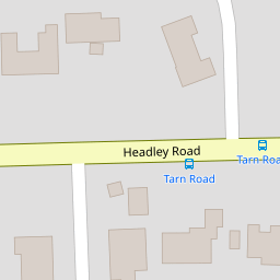
| Headley Road, Hindhead, Surrey | £ 120,000 | BUY | Unknown | 0.13 KM |
| Fairbanks, Hindhead, Surrey, GU26 | £ 1,100,000 | BUY | Unknown | 0.15 KM |
| Fairbanks, Hindhead, Surrey, GU26 | £ 1,100,000 | BUY | Unknown | 0.15 KM |
| Fairbanks, Hindhead, Surrey, GU26 | £ 1,100,000 | BUY | 7 / 10 | 0.15 KM |
| Tarn Road, Hindhead, Surrey, GU26 | £ 1,250,000 | BUY | 7 / 10 | 0.19 KM |
Nearby Properties
| Address | Price | Distance |
|---|---|---|
| 4 Forestdale | £ 675,000 | 0.00 KM |
| 5 Forestdale | £ 645,000 | 0.00 KM |
| Westwynds | £ 495,000 | 0.00 KM |
| 2 Forestdale | £ 325,000 | 0.00 KM |
| 10 Forestdale | £ 770,000 | 0.00 KM |