UN
10 Corrie Road
£ 355,000
Description
We don't have a Description for this property.
- Bedrooms
- 3
- Bathrooms
- 0
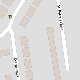
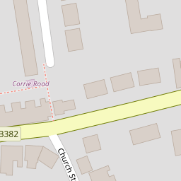
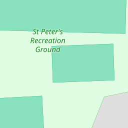
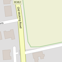
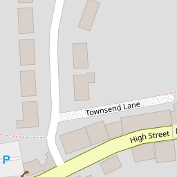

Leaflet © OpenStreetMap contributors
The heatmap indicates the level of crime in the area. The color of the heatmap indicates the crime severity and recency.
Metrics Year-on-Year
- Average area value
- 530,828.00 £Increased by 16.70 %
- Average area rental value
- 1,814.00 £/moDecreased by 6.25 %
- Est rental Yield
- 4.10 %Decreased by 19.61 %
- Crime Rate
- 19.00 %Unchanged by 0.00 %
from 454,851.00 £
from 1,935.00 £/mo
from 5.10 %
from 19.00 %
Nearby Schools
| Name | Type | Ofsted | Distance |
|---|---|---|---|
| Hoe Bridge School | Other Independent School | 0.56 KM | |
| Woking College | Academy 16-19 Converter | Good | 1.25 KM |
| St John The Baptist Catholic Comprehensive School, Woking | Academy Converter | 1.36 KM | |
| Sythwood At Old Woking Sure Start Children'S Centre | Children's Centre Linked Site | 1.41 KM | |
| Kingfield Primary School | Academy Converter | 1.42 KM |
Images
Nearby Streets
| Name | Average Price | Average Sqft | Distance |
|---|---|---|---|
| Manor Way | £ 498,750 | 0 | 0.00 KM |
| Queen Elizabeth Way | £ 1,200,000 | 0 | 0.00 KM |
| Briar Road | £ 975,000 | 0 | 0.00 KM |
| Brook Lane | £ 700,000 | 0 | 0.00 KM |
| Broadwood Rise | £ 750,000 | 0 | 0.00 KM |
Nearby Transport
| Name | NLC | TLC | Distance |
|---|---|---|---|
| Woking | 5685 | WOK | 2.71 KM |
| Worplesdon | 5686 | WPL | 5.18 KM |
| West Byfleet | 5684 | WBY | 5.38 KM |
| Clandon | 5555 | CLA | 5.84 KM |
| London Road (Guildford) | 5632 | LRD | 7.58 KM |
Nearby Listings
| Address | Price | Type | Score | Distance |
|---|---|---|---|---|
| Corrie Road, Woking, Surrey, GU22 | £ 375,000 | BUY | Unknown | 0.01 KM |
| White Hart House, 150 High Street, Woking, Surrey, GU22 | £ 375,000 | BUY | 6 / 10 | 0.09 KM |
| The Cloisters, Woking | £ 195,000 | BUY | 5 / 10 | 0.10 KM |
| Trinity House, The Cloisters, Woking, Surrey, GU22 | £ 185,000 | BUY | Unknown | 0.12 KM |
| The Cloisters, Woking, Surrey, GU22 | £ 200,000 | BUY | Unknown | 0.13 KM |
Nearby Properties
| Address | Price | Distance |
|---|---|---|
| 10 Corrie Road | £ 355,000 | 0.00 KM |
| 13 Corrie Road | £ 335,000 | 0.00 KM |
| 16 Corrie Road | £ 345,000 | 0.00 KM |
| 8 Corrie Road | £ 240,000 | 0.00 KM |
| Cornerways | £ 913,000 | 0.06 KM |