UN
Ratapa
£ 250,000
Description
We don't have a Description for this property.
- Bedrooms
- 2
- Bathrooms
- 0

Leaflet © OpenStreetMap contributors
The heatmap indicates the level of crime in the area. The color of the heatmap indicates the crime severity and recency.
Metrics Year-on-Year
- Average area value
- 586,400.00 £Increased by 18.76 %
- Average area rental value
- 2,150.00 £/moIncreased by 9.47 %
- Est rental Yield
- 4.40 %Decreased by 7.76 %
- Crime Rate
- 9.00 %Unchanged by 0.00 %
from 493,776.00 £
from 1,964.00 £/mo
from 4.77 %
from 9.00 %
Nearby Schools
| Name | Type | Ofsted | Distance |
|---|---|---|---|
| The Knaphill Lower School | Academy Converter | 0.27 KM | |
| Knaphill School | Academy Converter | 0.50 KM | |
| Brookwood Primary School | Academy Sponsor Led | Good | 1.27 KM |
| Bisley Cofe Primary School | Voluntary Aided School | Good | 1.33 KM |
| Brookwood & Pirbright Sure Start Children'S Centre | Children's Centre | 1.36 KM |
Images
Nearby Streets
| Name | Average Price | Average Sqft | Distance |
|---|---|---|---|
| Stafford Lake | £ 0 | 0 | 0.00 KM |
| Trinity Road | £ 660,000 | 0 | 0.00 KM |
| Oak Tree Road | £ 0 | 0 | 0.00 KM |
| Gloucester Close | £ 735,000 | 0 | 0.00 KM |
| Barton Close | £ 0 | 0 | 0.00 KM |
Nearby Transport
| Name | NLC | TLC | Distance |
|---|---|---|---|
| Brookwood | 5687 | BKO | 1.60 KM |
| Worplesdon | 5686 | WPL | 5.76 KM |
| Woking | 5685 | WOK | 7.79 KM |
| Sunningdale | 5671 | SNG | 8.53 KM |
| Longcross | 5674 | LNG | 8.56 KM |
Nearby Listings
| Address | Price | Type | Score | Distance |
|---|---|---|---|---|
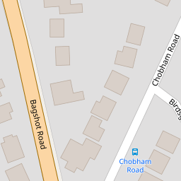
| Bagshot Road, Knaphill, Woking, Surrey, GU21 | £ 875,000 | BUY | 6 / 10 | 0.09 KM |
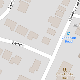
| Ivydene, Knaphill, Woking, Surrey, GU21 | £ 639,950 | BUY | 7 / 10 | 0.14 KM |
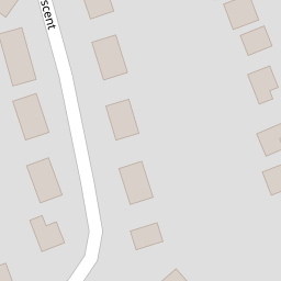
| Grindstone Crescent, Knaphill, Woking, Surrey, GU21 | £ 465,000 | BUY | 6 / 10 | 0.16 KM |
| Chobham Road, Knaphill, Woking, GU21 | £ 650,000 | BUY | Unknown | 0.17 KM |
| Birds Grove, Knaphill, Woking, Surrey, GU21 | £ 700,000 | BUY | 7 / 10 | 0.17 KM |
Nearby Properties
| Address | Price | Distance |
|---|---|---|
| Ratapa | £ 250,000 | 0.00 KM |
| La Tante | £ 285,000 | 0.01 KM |
| Lukla | £ 327,500 | 0.01 KM |
| Thetford | £ 580,000 | 0.01 KM |
| 34 Bagshot Road | £ 305,000 | 0.09 KM |