UN
31 Fairlands
£ 289,000
Description
We don't have a Description for this property.
- Bedrooms
- 3
- Bathrooms
- 0
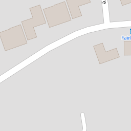

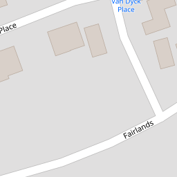
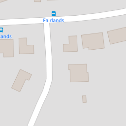
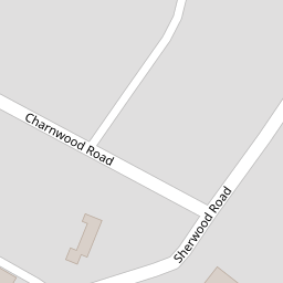
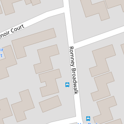


Leaflet © OpenStreetMap contributors
The heatmap indicates the level of crime in the area. The color of the heatmap indicates the crime severity and recency.
Metrics Year-on-Year
- Average area value
- 761,083.00 £Increased by 6.90 %
- Average area rental value
- 2,056.00 £/moDecreased by 3.34 %
- Est rental Yield
- 3.24 %Decreased by 9.75 %
- Crime Rate
- 1.00 %Unchanged by 0.00 %
from 711,963.00 £
from 2,127.00 £/mo
from 3.59 %
from 1.00 %
Nearby Schools
| Name | Type | Ofsted | Distance |
|---|---|---|---|
| Bartons Primary School, Bognor Regis | Community School | Good | 0.58 KM |
| The Regis School | Academy Sponsor Led | Good | 0.67 KM |
| Treehouse Children & Family Centre (Bersted) | Children's Centre | 0.77 KM | |
| Southway Primary School | Academy Sponsor Led | Requires improvement | 0.88 KM |
| Bersted Green Primary School, Bognor Regis | Community School | Good | 0.90 KM |
Images
Nearby Streets
| Name | Average Price | Average Sqft | Distance |
|---|---|---|---|
| Romney Broadwalk | £ 332,500 | 0 | 0.00 KM |
| Charnwood Road | £ 500,000 | 0 | 0.00 KM |
| St Clare’s Gardens | £ 0 | 0 | 0.00 KM |
| Bramley Gardens | £ 0 | 0 | 0.00 KM |
| Chichester Road | £ 316,667 | 0 | 0.00 KM |
Nearby Transport
| Name | NLC | TLC | Distance |
|---|---|---|---|
| Bognor Regis | 5253 | BOG | 1.86 KM |
| Barnham | 5252 | BAA | 6.38 KM |
Nearby Listings
| Address | Price | Type | Score | Distance |
|---|---|---|---|---|
| Manet Square, North Bersted, Bognor Regis | £ 200,000 | BUY | 5 / 10 | 0.05 KM |
| Romney Broad Walk, Bognor Regis, West Sussex, PO22 | £ 340,000 | BUY | 6 / 10 | 0.08 KM |
| Romney Broadwalk, North Bersted, Bognor Regis, West Sussex, PO22 9BD | £ 325,000 | BUY | 6 / 10 | 0.08 KM |
| Charnwood Road, North Bersted | £ 400,000 | BUY | Unknown | 0.13 KM |
| Charnwood Road, Bognor Regis, PO22 | £ 500,000 | BUY | 6 / 10 | 0.15 KM |
Nearby Properties
| Address | Price | Distance |
|---|---|---|
| 29 Fairlands | £ 299,999 | 0.00 KM |
| 27 Fairlands | £ 222,500 | 0.00 KM |
| 25 Fairlands | £ 275,000 | 0.00 KM |
| 23 Fairlands | £ 324,950 | 0.00 KM |
| 31 Fairlands | £ 289,000 | 0.00 KM |