UN
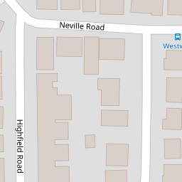
38 Neville Road
£ 345,000
Description
We don't have a Description for this property.
- Bedrooms
- 4
- Bathrooms
- 0
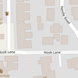
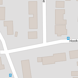

Leaflet © OpenStreetMap contributors
The heatmap indicates the level of crime in the area. The color of the heatmap indicates the crime severity and recency.
Metrics Year-on-Year
- Average area value
- 761,083.00 £Increased by 6.90 %
- Average area rental value
- 2,056.00 £/moDecreased by 3.34 %
- Est rental Yield
- 3.24 %Decreased by 9.75 %
- Crime Rate
- 5.00 %Unchanged by 0.00 %
from 711,963.00 £
from 2,127.00 £/mo
from 3.59 %
from 5.00 %
Nearby Schools
| Name | Type | Ofsted | Distance |
|---|---|---|---|
| Edward Bryant School | Academy Converter | Good | 0.50 KM |
| South Bersted Cofe Primary School | Voluntary Controlled School | Good | 0.63 KM |
| St Mary'S Catholic Primary School | Voluntary Aided School | Good | 0.73 KM |
| Bersted Green Primary School, Bognor Regis | Community School | Good | 1.15 KM |
| Bognor Regis Nursery School | Local Authority Nursery School | Outstanding | 1.22 KM |
Images
Nearby Streets
| Name | Average Price | Average Sqft | Distance |
|---|---|---|---|
| Gordon Avenue | £ 0 | 0 | 0.00 KM |
| Melanie's Gardens | £ 0 | 0 | 0.00 KM |
| Stanley Close | £ 90,000 | 0 | 0.00 KM |
| Highcroft Close | £ 0 | 0 | 0.00 KM |
| The Paddock | £ 289,950 | 0 | 0.00 KM |
Nearby Transport
| Name | NLC | TLC | Distance |
|---|---|---|---|
| Bognor Regis | 5253 | BOG | 0.84 KM |
| Barnham | 5252 | BAA | 5.54 KM |
Nearby Listings
| Address | Price | Type | Score | Distance |
|---|---|---|---|---|
| Neville Road, Bognor Regis, PO22 | £ 335,000 | BUY | 6 / 10 | 0.02 KM |
| Neville Road, Bognor Regis, West Sussex | £ 250,000 | BUY | Unknown | 0.09 KM |
| Highfield Road, Bognor Regis | £ 85,000 | BUY | Unknown | 0.09 KM |
| Highfield Road, Bognor Regis, West Sussex, PO22 | £ 260,000 | BUY | 7 / 10 | 0.12 KM |
| Highfield Road, Bognor Regis | £ 325,000 | BUY | 7 / 10 | 0.12 KM |
Nearby Properties
| Address | Price | Distance |
|---|---|---|
| 34 Neville Road | £ 365,000 | 0.00 KM |
| 38 Neville Road | £ 345,000 | 0.00 KM |
| 46 Neville Road | £ 300,000 | 0.00 KM |
| 52 Neville Road | £ 322,000 | 0.00 KM |
| 44 Neville Road | £ 82,000 | 0.00 KM |