UN
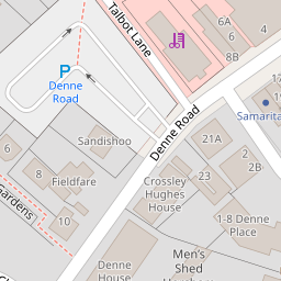
21a Denne Road
£ 200,000
Description
We don't have a Description for this property.
- Bedrooms
- 1
- Bathrooms
- 0

Leaflet © OpenStreetMap contributors
The heatmap indicates the level of crime in the area. The color of the heatmap indicates the crime severity and recency.
Metrics Year-on-Year
- Average area value
- 440,355.00 £Increased by 22.81 %
- Average area rental value
- 1,327.00 £/moDecreased by 4.33 %
- Est rental Yield
- 3.62 %Decreased by 21.98 %
- Crime Rate
- 12.00 %Unchanged by 0.00 %
from 358,557.00 £
from 1,387.00 £/mo
from 4.64 %
from 12.00 %
Nearby Schools
| Name | Type | Ofsted | Distance |
|---|---|---|---|
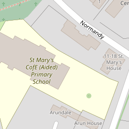
| St Mary'S Cofe (Aided) Primary School | Voluntary Aided School | Good | 0.16 KM |
| Bohunt Horsham | Free Schools | 1.18 KM | |
| The Needles Children & Family Centre | Children's Centre | 1.35 KM | |
| Trafalgar Community Infant School | Community School | Good | 1.36 KM |
| The College Of Richard Collyer In Horsham | Further Education | Outstanding | 1.37 KM |
Images
Nearby Streets
| Name | Average Price | Average Sqft | Distance |
|---|---|---|---|
| Swan Walk | £ 0 | 0 | 0.00 KM |
| Albion Way | £ 0 | 0 | 0.00 KM |
| Livingstone Road | £ 0 | 0 | 0.00 KM |
| Moonstone Mews | £ 375,000 | 0 | 0.00 KM |
| Cheery Court | £ 0 | 0 | 0.00 KM |
Nearby Transport
| Name | NLC | TLC | Distance |
|---|---|---|---|
| Horsham | 5309 | HRH | 1.26 KM |
| Littlehaven | 5498 | LVN | 3.19 KM |
| Warnham | 5316 | WNH | 3.67 KM |
| Christs Hospital | 5319 | CHH | 3.97 KM |
| Faygate | 5493 | FGT | 8.31 KM |
Nearby Listings
| Address | Price | Type | Score | Distance |
|---|---|---|---|---|
| Denne Road, Horsham, West Sussex | £ 550,000 | BUY | 6 / 10 | 0.02 KM |
| Hadmans Close, Horsham, RH12 | £ 700,000 | BUY | 6 / 10 | 0.08 KM |
| Longhurst Avenue, Horsham, West Sussex | £ 230,000 | BUY | Unknown | 0.12 KM |
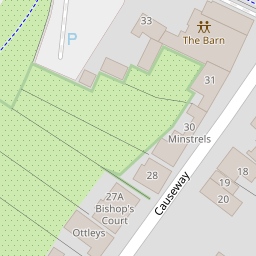
| Causeway, Horsham | £ 1,375,000 | BUY | 7 / 10 | 0.13 KM |
| Causeway, Horsham, RH12 1HE | £ 2,500,000 | BUY | 8 / 10 | 0.13 KM |
Nearby Properties
| Address | Price | Distance |
|---|---|---|
| Arun Lodge | £ 1,630,000 | 0.00 KM |
| 21a Denne Road | £ 200,000 | 0.00 KM |
| Sandishoo | £ 410,000 | 0.02 KM |
| 22 Denne Road | £ 130,000 | 0.02 KM |
| Arundale | £ 690,000 | 0.02 KM |