UN
12 Foxholes
£ 410,000
Description
We don't have a Description for this property.
- Bedrooms
- 4
- Bathrooms
- 0
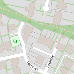
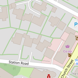
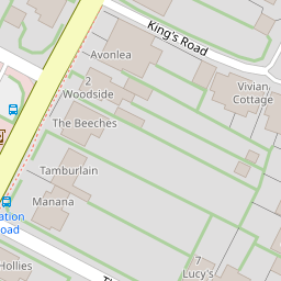

Leaflet © OpenStreetMap contributors
The heatmap indicates the level of crime in the area. The color of the heatmap indicates the crime severity and recency.
Metrics Year-on-Year
- Average area value
- 705,556.00 £Decreased by 1.19 %
- Average area rental value
- 2,583.00 £/moDecreased by 0.39 %
- Est rental Yield
- 4.39 %Increased by 0.69 %
- Crime Rate
- 92.00 %Unchanged by 0.00 %
from 714,048.00 £
from 2,593.00 £/mo
from 4.36 %
from 92.00 %
Nearby Schools
| Name | Type | Ofsted | Distance |
|---|---|---|---|
| Rudgwick Primary School | Community School | Good | 0.40 KM |
| Pennthorpe School | Other Independent School | 0.46 KM | |
| Manor House School | Other Independent Special School | Good | 4.35 KM |
| Rikkyo School-In-England | Other Independent School | Good | 4.36 KM |
| Ingfield Manor School | Non-maintained Special School | Good | 4.75 KM |
Images
Nearby Streets
| Name | Average Price | Average Sqft | Distance |
|---|---|---|---|
| Queen Elizabeth Road | £ 350,000 | 0 | 0.00 KM |
Nearby Transport
| Name | NLC | TLC | Distance |
|---|---|---|---|
| Billingshurst | 5464 | BIG | 8.41 KM |
Nearby Listings
| Address | Price | Type | Score | Distance |
|---|---|---|---|---|
| Station Road, Rudgwick | £ 525,000 | BUY | Unknown | 0.08 KM |
| Foxholes, Rudgwick, RH12 | £ 700,000 | BUY | 7 / 10 | 0.09 KM |
| Brookhurst Field, Foxholes, Rudgwick | £ 625,000 | BUY | 8 / 10 | 0.11 KM |
| Brookhurst Field, Foxholes, Rudgwick, Horsham, RH12 | £ 625,000 | BUY | 8 / 10 | 0.11 KM |
| The Sidings, Rudgwick, Horsham | £ 195,000 | BUY | 5 / 10 | 0.15 KM |
Nearby Properties
| Address | Price | Distance |
|---|---|---|
| 38 Foxholes | £ 112,500 | 0.00 KM |
| 3 Foxholes | £ 620,000 | 0.00 KM |
| 23 Foxholes | £ 500,000 | 0.00 KM |
| 22 Foxholes | £ 586,250 | 0.00 KM |
| 12 Foxholes | £ 410,000 | 0.00 KM |