UN
4 Church Street
£ 92,500
Description
We don't have a Description for this property.
- Bedrooms
- 3
- Bathrooms
- 0
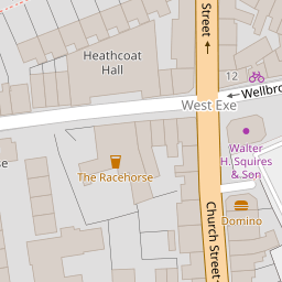
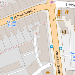

Leaflet © OpenStreetMap contributors
The heatmap indicates the level of crime in the area. The color of the heatmap indicates the crime severity and recency.
Metrics Year-on-Year
- Average area value
- 351,666.00 £Increased by 21.10 %
- Average area rental value
- 986.00 £/moIncreased by 4.67 %
- Est rental Yield
- 3.36 %Decreased by 13.62 %
- Crime Rate
- 25.00 %Unchanged by 0.00 %
from 290,383.00 £
from 942.00 £/mo
from 3.89 %
from 25.00 %
Nearby Schools
| Name | Type | Ofsted | Distance |
|---|---|---|---|
| Heathcoat Primary School | Foundation School | Good | 0.40 KM |
| St John'S Catholic Primary School | Academy Converter | Requires improvement | 0.41 KM |
| Ace Tiverton Special School | Free Schools Special | 0.55 KM | |
| Tiverton High School | Foundation School | Good | 0.78 KM |
| Castle Primary School | Foundation School | Good | 1.02 KM |
Images
Nearby Streets
| Name | Average Price | Average Sqft | Distance |
|---|---|---|---|
| St Paul's Square | £ 0 | 0 | 0.00 KM |
| St Paul Street | £ 185,000 | 0 | 0.00 KM |
| Landboat Cottages | £ 0 | 0 | 0.00 KM |
| Morville Place | £ 0 | 0 | 0.00 KM |
| Crown Walk | £ 192,500 | 0 | 0.00 KM |
Nearby Listings
| Address | Price | Type | Score | Distance |
|---|---|---|---|---|
| Wellbrook Street, Tiverton | £ 210,000 | BUY | 5 / 10 | 0.07 KM |
| Wellbrook Street, TIVERTON | £ 170,000 | BUY | Unknown | 0.07 KM |
| Leat Street, Tiverton | £ 120,000 | BUY | 5 / 10 | 0.07 KM |
| Church Street, Tiverton | £ 240,000 | BUY | 7 / 10 | 0.09 KM |
| St. Paul Street, Tiverton, Devon, EX16 | £ 185,000 | BUY | Unknown | 0.14 KM |
Nearby Properties
| Address | Price | Distance |
|---|---|---|
| 2 Church Street | £ 138,950 | 0.00 KM |
| 4 Church Street | £ 92,500 | 0.00 KM |
| 3 Church Street | £ 145,000 | 0.00 KM |
| 1 Church Street | £ 110,000 | 0.00 KM |
| 12 Wellbrook Street | £ 102,000 | 0.04 KM |