UN
Hove To
£ 380,268
Description
We don't have a Description for this property.
- Bedrooms
- 2
- Bathrooms
- 0
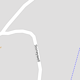

Leaflet © OpenStreetMap contributors
The heatmap indicates the level of crime in the area. The color of the heatmap indicates the crime severity and recency.
Metrics Year-on-Year
- Average area value
- 451,562.00 £Decreased by 12.73 %
- Average area rental value
- 1,456.00 £/moDecreased by 9.17 %
- Est rental Yield
- 3.87 %Increased by 4.03 %
- Crime Rate
- 40.00 %Unchanged by 0.00 %
from 517,404.00 £
from 1,603.00 £/mo
from 3.72 %
from 40.00 %
Nearby Schools
| Name | Type | Ofsted | Distance |
|---|---|---|---|
| Instow Community Primary And Pre-School | Foundation School | Good | 1.30 KM |
| Appledore School | Foundation School | Good | 2.10 KM |
| Bideford Bay Children'S Centre | Children's Centre | 4.26 KM | |
| St George'S Church Of England (Va) Infant And Nursery School | Voluntary Aided School | Good | 4.29 KM |
| St Margaret'S Church Of England (Aided) Junior School | Voluntary Aided School | Requires improvement | 4.29 KM |
Images
Nearby Streets
| Name | Average Price | Average Sqft | Distance |
|---|---|---|---|
| Craigwell Villas | £ 0 | 0 | 0.00 KM |
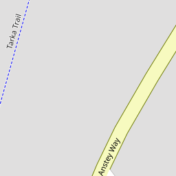
| Tarka Trail | £ 375,000 | 0 | 0.00 KM |
| Quay Lane | £ 675,000 | 0 | 0.00 KM |
| Tarka Trail | £ 0 | 0 | 0.00 KM |
| Quayside | £ 0 | 0 | 0.00 KM |
Nearby Listings
| Address | Price | Type | Score | Distance |
|---|---|---|---|---|
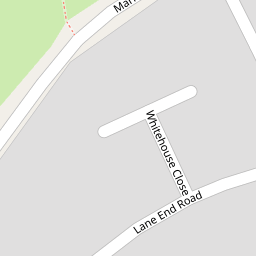
| White House Close, Instow, Bideford | £ 469,500 | BUY | 6 / 10 | 0.08 KM |
| Lane End, Instow, Bideford | £ 300,000 | BUY | 7 / 10 | 0.09 KM |
| White House Close, Instow, Bideford | £ 425,000 | BUY | 6 / 10 | 0.10 KM |
| Lane End Road, Instow, Bideford | £ 275,000 | BUY | 5 / 10 | 0.10 KM |
| Anstey Way, Instow, Bideford | £ 695,000 | BUY | 7 / 10 | 0.19 KM |
Nearby Properties
| Address | Price | Distance |
|---|---|---|
| Torridge House | £ 320,000 | 0.00 KM |
| Hove To | £ 380,268 | 0.00 KM |
| 9 White House Close | £ 295,000 | 0.11 KM |
| 23 White House Close | £ 265,000 | 0.11 KM |
| 3 White House Close | £ 230,000 | 0.11 KM |