UN
1 Looseleigh Park
£ 535,000
Description
We don't have a Description for this property.
- Bedrooms
- 4
- Bathrooms
- 0
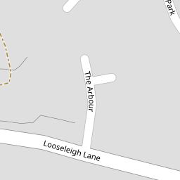
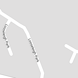

Leaflet © OpenStreetMap contributors
The heatmap indicates the level of crime in the area. The color of the heatmap indicates the crime severity and recency.
Metrics Year-on-Year
- Average area value
- 347,965.00 £Increased by 8.23 %
- Average area rental value
- 1,054.00 £/moIncreased by 24.15 %
- Est rental Yield
- 3.63 %Increased by 14.51 %
- Crime Rate
- 0.00 %
from 321,500.00 £
from 849.00 £/mo
from 3.17 %
from 0.00 %
Nearby Schools
| Name | Type | Ofsted | Distance |
|---|---|---|---|
| Woodlands School | Foundation Special School | Good | 0.44 KM |
| Southernway Children'S Centre | Children's Centre | 0.61 KM | |
| Beechwood Primary Academy | Academy Converter | Good | 0.68 KM |
| Whitleigh Community Primary School | Foundation School | Good | 0.82 KM |
| Notre Dame Rc School | Academy Converter | Good | 0.93 KM |
Images
Nearby Streets
| Name | Average Price | Average Sqft | Distance |
|---|---|---|---|
| Looseleigh Lane | £ 425,000 | 0 | 0.00 KM |
| Silver Hill Close | £ 0 | 0 | 0.00 KM |
| Magnus Close | £ 0 | 0 | 0.00 KM |
| Notre Dame Close | £ 0 | 0 | 0.00 KM |
| Berkeley Square | £ 545,000 | 0 | 0.00 KM |
Nearby Transport
| Name | NLC | TLC | Distance |
|---|---|---|---|
| Plymouth | 3580 | PLY | 5.06 KM |
| Bere Ferrers | 3550 | BFE | 5.97 KM |
| Keyham | 3571 | KEY | 6.08 KM |
| St Budeaux Ferry Road | 3590 | SBF | 6.14 KM |
| St Budeaux Victoria Road | 3592 | SBV | 6.17 KM |
Nearby Listings
| Address | Price | Type | Score | Distance |
|---|---|---|---|---|
| Derriford, Plymouth | £ 475,000 | BUY | 7 / 10 | 0.14 KM |
| Derriford, Plymouth | £ 435,000 | BUY | 7 / 10 | 0.18 KM |
| Derriford, Plymouth | £ 435,000 | BUY | 7 / 10 | 0.18 KM |
| Leatfield Drive, Derriford, Plymouth, PL6 | £ 230,000 | BUY | Unknown | 0.20 KM |
| Derriford, Plymouth | £ 340,000 | BUY | 7 / 10 | 0.21 KM |
Nearby Properties
| Address | Price | Distance |
|---|---|---|
| 6 Looseleigh Park | £ 275,000 | 0.00 KM |
| 1 Looseleigh Park | £ 535,000 | 0.00 KM |
| 7 Looseleigh Park | £ 335,000 | 0.04 KM |
| 8 Looseleigh Park | £ 162,000 | 0.04 KM |
| 5 The Arbour | £ 275,000 | 0.08 KM |