UN
36 Milford Lane
£ 184,000
Description
We don't have a Description for this property.
- Bedrooms
- 3
- Bathrooms
- 0
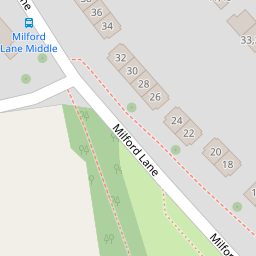
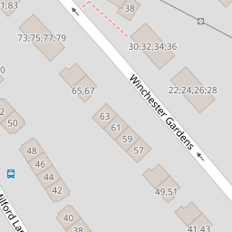
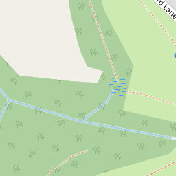
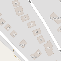
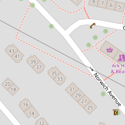
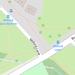

Leaflet © OpenStreetMap contributors
The heatmap indicates the level of crime in the area. The color of the heatmap indicates the crime severity and recency.
Metrics Year-on-Year
- Average area value
- 347,965.00 £Increased by 8.23 %
- Average area rental value
- 1,054.00 £/moIncreased by 24.15 %
- Est rental Yield
- 3.63 %Increased by 14.51 %
- Crime Rate
- 9.00 %Unchanged by 0.00 %
from 321,500.00 £
from 849.00 £/mo
from 3.17 %
from 9.00 %
Nearby Schools
| Name | Type | Ofsted | Distance |
|---|---|---|---|
| Knowle Primary School | Academy Converter | Good | 0.45 KM |
| St Peter'S Rc Primary School | Academy Converter | Good | 0.78 KM |
| Sure Start Four Woods Children'S Centre | Children's Centre | 0.82 KM | |
| Brook Green Centre For Learning | Community Special School | Outstanding | 0.82 KM |
| Mill Ford School | Community Special School | Good | 0.84 KM |
Images
Nearby Streets
| Name | Average Price | Average Sqft | Distance |
|---|---|---|---|
| Carbis Close | £ 131,250 | 0 | 0.00 KM |
| Marldon Close | £ 130,000 | 0 | 0.00 KM |
| Kinsale Road | £ 0 | 0 | 0.00 KM |
| Horsham Lane | £ 0 | 0 | 0.00 KM |
| Trowbridge Close | £ 105,000 | 0 | 0.00 KM |
Nearby Transport
| Name | NLC | TLC | Distance |
|---|---|---|---|
| St Budeaux Ferry Road | 3590 | SBF | 3.31 KM |
| St Budeaux Victoria Road | 3592 | SBV | 3.33 KM |
| Keyham | 3571 | KEY | 3.79 KM |
| Bere Ferrers | 3550 | BFE | 4.03 KM |
| Dockyard (Devonport) | 3588 | DOC | 4.41 KM |
Nearby Listings
| Address | Price | Type | Score | Distance |
|---|---|---|---|---|
| Milford Lane, Plymouth, Devon, PL5 | £ 195,000 | BUY | 6 / 10 | 0.00 KM |
| Milford Lane, Plymouth | £ 250,000 | BUY | 7 / 10 | 0.00 KM |
| Milford Lane, Plymouth | £ 250,000 | BUY | 7 / 10 | 0.00 KM |
| Milford Lane, Plymouth | £ 170,000 | BUY | Unknown | 0.01 KM |
| Winchester Gardens, Plymouth | £ 100,000 | BUY | 6 / 10 | 0.06 KM |
Nearby Properties
| Address | Price | Distance |
|---|---|---|
| 36 Milford Lane | £ 184,000 | 0.00 KM |
| 42 Milford Lane | £ 115,000 | 0.00 KM |
| 48 Milford Lane | £ 137,000 | 0.00 KM |
| 16 Milford Lane | £ 160,000 | 0.00 KM |
| 38 Milford Lane | £ 141,000 | 0.00 KM |