UN
49 Shrewsbury Road
£ 130,000
Description
We don't have a Description for this property.
- Bedrooms
- 3
- Bathrooms
- 0
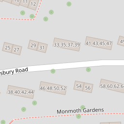

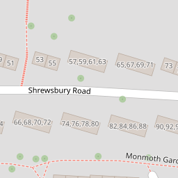

Leaflet © OpenStreetMap contributors
The heatmap indicates the level of crime in the area. The color of the heatmap indicates the crime severity and recency.
Metrics Year-on-Year
- Average area value
- 231,250.00 £Decreased by 12.40 %
- Average area rental value
- 1,650.00 £/moIncreased by 107.29 %
- Est rental Yield
- 8.56 %Increased by 136.46 %
- Crime Rate
- 23.00 %Unchanged by 0.00 %
from 263,993.00 £
from 796.00 £/mo
from 3.62 %
from 23.00 %
Nearby Schools
| Name | Type | Ofsted | Distance |
|---|---|---|---|
| St Peter'S Rc Primary School | Academy Converter | Good | 0.34 KM |
| Brook Green Centre For Learning | Community Special School | Outstanding | 0.35 KM |
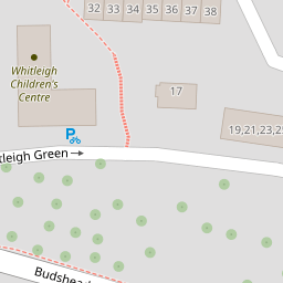
| Whitleigh Children'S Centre | Children's Centre | 0.36 KM | |
| Woodfield Primary School | Academy Converter | Good | 0.38 KM |
| Shakespeare Primary School | Academy Converter | 1.06 KM |
Images
Nearby Streets
| Name | Average Price | Average Sqft | Distance |
|---|---|---|---|
| Carbis Close | £ 131,250 | 0 | 0.00 KM |
| Trowbridge Close | £ 105,000 | 0 | 0.00 KM |
| Marldon Close | £ 130,000 | 0 | 0.00 KM |
| Horsham Lane | £ 0 | 0 | 0.00 KM |
| Drayton Road | £ 0 | 0 | 0.00 KM |
Nearby Transport
| Name | NLC | TLC | Distance |
|---|---|---|---|
| St Budeaux Ferry Road | 3590 | SBF | 4.17 KM |
| St Budeaux Victoria Road | 3592 | SBV | 4.20 KM |
| Keyham | 3571 | KEY | 4.35 KM |
| Bere Ferrers | 3550 | BFE | 4.70 KM |
| Plymouth | 3580 | PLY | 4.74 KM |
Nearby Listings
| Address | Price | Type | Score | Distance |
|---|---|---|---|---|
| Whitleigh Green, Plymouth, PL5 | £ 180,000 | BUY | Unknown | 0.13 KM |
| Lewes Gardens, Whitleigh, Plymouth | £ 200,000 | BUY | 7 / 10 | 0.19 KM |
| Shrewsbury Road, PLYMOUTH | £ 110,000 | BUY | 6 / 10 | 0.25 KM |
| Bodmin Road, Plymouth, PL5 | £ 87,000 | BUY | 7 / 10 | 0.29 KM |
| Bodmin Road, Plymouth | £ 130,000 | BUY | 6 / 10 | 0.33 KM |
Nearby Properties
| Address | Price | Distance |
|---|---|---|
| 49 Shrewsbury Road | £ 130,000 | 0.00 KM |
| 32 Shrewsbury Road | £ 110,000 | 0.00 KM |
| 21 Shrewsbury Road | £ 160,000 | 0.00 KM |
| 29 Shrewsbury Road | £ 140,000 | 0.00 KM |
| 19 Shrewsbury Road | £ 141,000 | 0.00 KM |