UN
39 Taunton Avenue
£ 108,000
Description
We don't have a Description for this property.
- Bedrooms
- 3
- Bathrooms
- 0
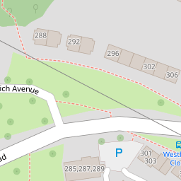
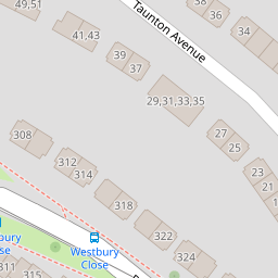
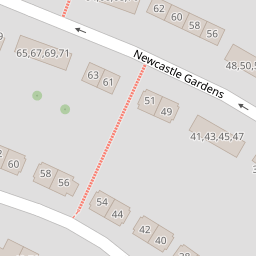

Leaflet © OpenStreetMap contributors
The heatmap indicates the level of crime in the area. The color of the heatmap indicates the crime severity and recency.
Metrics Year-on-Year
- Average area value
- 231,250.00 £Decreased by 12.40 %
- Average area rental value
- 1,650.00 £/moIncreased by 107.29 %
- Est rental Yield
- 8.56 %Increased by 136.46 %
- Crime Rate
- 15.00 %Unchanged by 0.00 %
from 263,993.00 £
from 796.00 £/mo
from 3.62 %
from 15.00 %
Nearby Schools
| Name | Type | Ofsted | Distance |
|---|---|---|---|
| St Peter'S Rc Primary School | Academy Converter | Good | 0.25 KM |
| Brook Green Centre For Learning | Community Special School | Outstanding | 0.36 KM |
| Knowle Primary School | Academy Converter | Good | 0.84 KM |
| Woodfield Primary School | Academy Converter | Good | 0.87 KM |
| Whitleigh Children'S Centre | Children's Centre | 0.88 KM |
Images
Nearby Streets
| Name | Average Price | Average Sqft | Distance |
|---|---|---|---|
| Carbis Close | £ 131,250 | 0 | 0.00 KM |
| Marldon Close | £ 130,000 | 0 | 0.00 KM |
| Trowbridge Close | £ 105,000 | 0 | 0.00 KM |
| Horsham Lane | £ 0 | 0 | 0.00 KM |
| Drayton Road | £ 0 | 0 | 0.00 KM |
Nearby Transport
| Name | NLC | TLC | Distance |
|---|---|---|---|
| St Budeaux Ferry Road | 3590 | SBF | 3.76 KM |
| St Budeaux Victoria Road | 3592 | SBV | 3.78 KM |
| Keyham | 3571 | KEY | 4.07 KM |
| Bere Ferrers | 3550 | BFE | 4.33 KM |
| Dockyard (Devonport) | 3588 | DOC | 4.61 KM |
Nearby Listings
| Address | Price | Type | Score | Distance |
|---|---|---|---|---|
| Taunton Avenue, Whitleigh, Plymouth | £ 170,000 | BUY | 6 / 10 | 0.08 KM |
| Taunton Avenue, Plymouth | £ 210,000 | BUY | 7 / 10 | 0.08 KM |
| Taunton Avenue, Plymouth | £ 190,000 | BUY | Unknown | 0.08 KM |
| Taunton Avenue, Plymouth | £ 220,000 | BUY | 7 / 10 | 0.14 KM |
| Newcastle Gardens, Plymouth | £ 120,000 | BUY | Unknown | 0.17 KM |
Nearby Properties
| Address | Price | Distance |
|---|---|---|
| 39 Taunton Avenue | £ 108,000 | 0.00 KM |
| 55 Taunton Avenue | £ 50,000 | 0.00 KM |
| 37 Taunton Avenue | £ 112,000 | 0.00 KM |
| 21 Taunton Avenue | £ 155,000 | 0.00 KM |
| 71 Taunton Avenue | £ 59,950 | 0.00 KM |