UN
4 Chapel Way
£ 141,000
Description
We don't have a Description for this property.
- Bedrooms
- 2
- Bathrooms
- 0
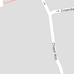
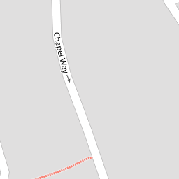
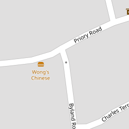

Leaflet © OpenStreetMap contributors
The heatmap indicates the level of crime in the area. The color of the heatmap indicates the crime severity and recency.
Metrics Year-on-Year
- Average area value
- 271,710.00 £Decreased by 13.90 %
- Average area rental value
- 595.00 £/moDecreased by 29.33 %
- Est rental Yield
- 2.63 %Decreased by 17.81 %
- Crime Rate
- 3.00 %Unchanged by 0.00 %
from 315,565.00 £
from 842.00 £/mo
from 3.20 %
from 3.00 %
Nearby Schools
| Name | Type | Ofsted | Distance |
|---|---|---|---|
| Sweet Peas Peverell Children'S Centre | Children's Centre | 0.18 KM | |
| Compton Cofe Primary School | Voluntary Controlled School | Good | 0.66 KM |
| Lipson Co-Operative Academy | Academy Converter | Requires improvement | 1.00 KM |
| Lipson Vale Primary School | Community School | Good | 1.00 KM |
| Eggbuckland Community College | Academy Converter | Requires improvement | 1.15 KM |
Images
Nearby Streets
| Name | Average Price | Average Sqft | Distance |
|---|---|---|---|
| Park Road | £ 350,000 | 0 | 0.00 KM |
| Compton Leigh | £ 0 | 0 | 0.00 KM |
| Greatfield Road | £ 0 | 0 | 0.00 KM |
| Petersfield Close | £ 0 | 0 | 0.00 KM |
| The Retreat | £ 340,000 | 0 | 0.00 KM |
Nearby Transport
| Name | NLC | TLC | Distance |
|---|---|---|---|
| Plymouth | 3580 | PLY | 2.92 KM |
| Devonport | 3579 | DPT | 5.75 KM |
| Dockyard (Devonport) | 3588 | DOC | 6.24 KM |
| Keyham | 3571 | KEY | 6.58 KM |
| St Budeaux Ferry Road | 3590 | SBF | 7.48 KM |
Nearby Listings
| Address | Price | Type | Score | Distance |
|---|---|---|---|---|
| Chapel Way, Plymouth, PL3 | £ 285,000 | BUY | 6 / 10 | 0.02 KM |
| Priory Road, Plymouth, PL3 | £ 160,000 | BUY | 5 / 10 | 0.05 KM |
| Priory Road, Lower Compton, Plymouth. | £ 240,000 | BUY | 7 / 10 | 0.05 KM |
| Lower Compton, Plymouth, Devon, PL3 5ET | £ 250,000 | BUY | Unknown | 0.05 KM |
| Crowndale Avenue, Higher Compton, Plymouth | £ 310,000 | BUY | Unknown | 0.09 KM |
Nearby Properties
| Address | Price | Distance |
|---|---|---|
| 4 Chapel Way | £ 141,000 | 0.00 KM |
| 12 Chapel Way | £ 139,000 | 0.00 KM |
| 6 Chapel Way | £ 92,500 | 0.00 KM |
| 8 Chapel Way | £ 180,000 | 0.00 KM |
| 16 Chapel Way | £ 210,000 | 0.00 KM |