UN
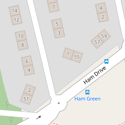
86 Ham Drive
£ 100,000
Description
We don't have a Description for this property.
- Bedrooms
- 3
- Bathrooms
- 0
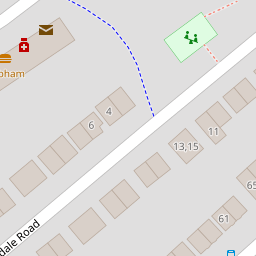
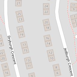
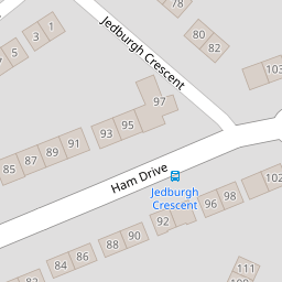
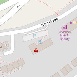
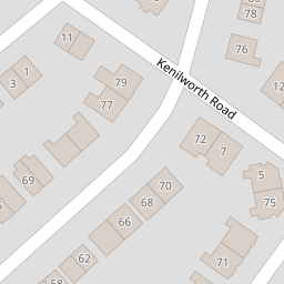

Leaflet © OpenStreetMap contributors
The heatmap indicates the level of crime in the area. The color of the heatmap indicates the crime severity and recency.
Metrics Year-on-Year
- Average area value
- 230,314.00 £Increased by 7.40 %
- Average area rental value
- 1,183.00 £/moIncreased by 13.64 %
- Est rental Yield
- 6.16 %Increased by 5.66 %
- Crime Rate
- 9.00 %Unchanged by 0.00 %
from 214,439.00 £
from 1,041.00 £/mo
from 5.83 %
from 9.00 %
Nearby Schools
| Name | Type | Ofsted | Distance |
|---|---|---|---|
| Mayflower Academy | Academy Sponsor Led | Outstanding | 0.58 KM |
| Ham Drive Nursery School And Day Care | Local Authority Nursery School | Good | 0.58 KM |
| All Saints Church Of England Academy | Academy Sponsor Led | Requires improvement | 0.73 KM |
| Sure Start Lark Children'S Centre | Children's Centre | 0.77 KM | |
| Montpelier Primary School | Academy Converter | Good | 0.90 KM |
Images
Nearby Streets
| Name | Average Price | Average Sqft | Distance |
|---|---|---|---|
| Hope Close | £ 0 | 0 | 0.00 KM |
| Dingle Road | £ 0 | 0 | 0.00 KM |
| Allenby Road | £ 175,000 | 0 | 0.00 KM |
| Beacon Park Road | £ 0 | 0 | 0.00 KM |
| Saint Boniface Close | £ 140,000 | 0 | 0.00 KM |
Nearby Transport
| Name | NLC | TLC | Distance |
|---|---|---|---|
| Keyham | 3571 | KEY | 2.17 KM |
| Devonport | 3579 | DPT | 2.30 KM |
| Dockyard (Devonport) | 3588 | DOC | 2.30 KM |
| St Budeaux Ferry Road | 3590 | SBF | 2.86 KM |
| Plymouth | 3580 | PLY | 2.92 KM |
Nearby Listings
| Address | Price | Type | Score | Distance |
|---|---|---|---|---|
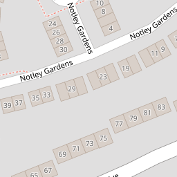
| Notley Gardens, Plymouth | £ 92,000 | BUY | 6 / 10 | 0.10 KM |
| Dovedale Road, Plymouth | £ 220,000 | BUY | Unknown | 0.16 KM |
| Dovedale Road, Plymouth, Devon | £ 250,000 | BUY | Unknown | 0.16 KM |
| Merrivale Road, Beacon Park, Plymouth, Devon | £ 260,000 | BUY | 6 / 10 | 0.17 KM |
| Merrivale Road, Beacon Park, Plymouth, Devon | £ 174,250 | BUY | 6 / 10 | 0.18 KM |
Nearby Properties
| Address | Price | Distance |
|---|---|---|
| 91 Ham Drive | £ 140,000 | 0.00 KM |
| 83 Ham Drive | £ 99,950 | 0.00 KM |
| 100 Ham Drive | £ 31,012 | 0.00 KM |
| 86 Ham Drive | £ 100,000 | 0.00 KM |
| 85 Ham Drive | £ 165,000 | 0.00 KM |