UN
3 Burns Avenue
£ 104,000
Description
We don't have a Description for this property.
- Bedrooms
- 3
- Bathrooms
- 0
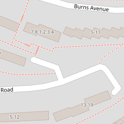
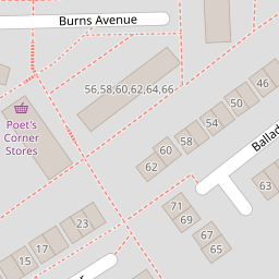

Leaflet © OpenStreetMap contributors
The heatmap indicates the level of crime in the area. The color of the heatmap indicates the crime severity and recency.
Metrics Year-on-Year
- Average area value
- 210,248.00 £Increased by 3.75 %
- Average area rental value
- 1,069.00 £/moIncreased by 3.48 %
- Est rental Yield
- 6.10 %Decreased by 0.33 %
- Crime Rate
- 12.00 %Unchanged by 0.00 %
from 202,655.00 £
from 1,033.00 £/mo
from 6.12 %
from 12.00 %
Nearby Schools
| Name | Type | Ofsted | Distance |
|---|---|---|---|
| Shakespeare Primary School | Academy Converter | 0.42 KM | |
| All Saints Church Of England Academy | Academy Sponsor Led | Requires improvement | 0.65 KM |
| Popin Children'S Centre | Children's Centre | 0.85 KM | |
| Pennycross Primary School | Community School | Good | 1.03 KM |
| Brook Green Centre For Learning | Community Special School | Outstanding | 1.20 KM |
Images
Nearby Streets
| Name | Average Price | Average Sqft | Distance |
|---|---|---|---|
| Drayton Road | £ 0 | 0 | 0.00 KM |
| Horsham Lane | £ 0 | 0 | 0.00 KM |
| Marldon Close | £ 130,000 | 0 | 0.00 KM |
| Frobisher Approach | £ 0 | 0 | 0.00 KM |
| Carbis Close | £ 131,250 | 0 | 0.00 KM |
Nearby Transport
| Name | NLC | TLC | Distance |
|---|---|---|---|
| Keyham | 3571 | KEY | 3.42 KM |
| Plymouth | 3580 | PLY | 3.42 KM |
| Devonport | 3579 | DPT | 3.66 KM |
| Dockyard (Devonport) | 3588 | DOC | 3.67 KM |
| St Budeaux Ferry Road | 3590 | SBF | 3.70 KM |
Nearby Listings
| Address | Price | Type | Score | Distance |
|---|---|---|---|---|
| Byron Avenue, Plymouth, PL5 | £ 210,000 | BUY | 5 / 10 | 0.08 KM |
| Bede Gardens, Manadon | £ 190,000 | BUY | 5 / 10 | 0.10 KM |
| Chaucer Gardens, Manadon, Plymouth, Devon, PL5 3EQ | £ 340,000 | BUY | 6 / 10 | 0.20 KM |
| Chaucer Way, Plymouth, PL5 3EQ | £ 210,000 | BUY | 7 / 10 | 0.20 KM |
| Drayton Road, Plymouth | £ 90,000 | BUY | 5 / 10 | 0.24 KM |
Nearby Properties
| Address | Price | Distance |
|---|---|---|
| 46 Burns Avenue | £ 160,000 | 0.00 KM |
| 10 Burns Avenue | £ 115,000 | 0.00 KM |
| 3 Burns Avenue | £ 104,000 | 0.00 KM |
| 57 Burns Avenue | £ 175,000 | 0.00 KM |
| 52 Burns Avenue | £ 89,000 | 0.00 KM |