UN
2 Malory Close
£ 165,000
Description
We don't have a Description for this property.
- Bedrooms
- 3
- Bathrooms
- 0
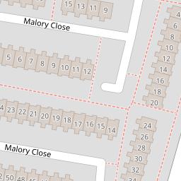
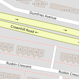
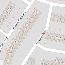
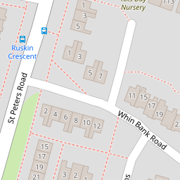
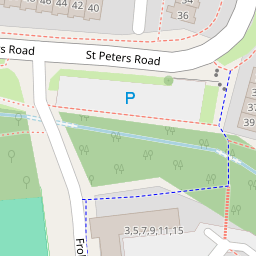
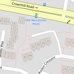
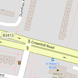
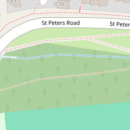
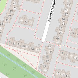

Leaflet © OpenStreetMap contributors
The heatmap indicates the level of crime in the area. The color of the heatmap indicates the crime severity and recency.
Metrics Year-on-Year
- Average area value
- 210,248.00 £Increased by 3.75 %
- Average area rental value
- 1,069.00 £/moIncreased by 3.48 %
- Est rental Yield
- 6.10 %Decreased by 0.33 %
- Crime Rate
- 5.00 %Unchanged by 0.00 %
from 202,655.00 £
from 1,033.00 £/mo
from 6.12 %
from 5.00 %
Nearby Schools
| Name | Type | Ofsted | Distance |
|---|---|---|---|
| Whitleigh Community Primary School | Foundation School | Good | 0.86 KM |
| St Boniface'S Rc College | Academy Sponsor Led | Requires improvement | 0.97 KM |
| Manadon Vale Primary School | Academy Converter | Good | 1.18 KM |
| Whitleigh Children'S Centre | Children's Centre | 1.22 KM | |
| Woodlands School | Foundation Special School | Good | 1.24 KM |
Images
Nearby Streets
| Name | Average Price | Average Sqft | Distance |
|---|---|---|---|
| Frobisher Approach | £ 0 | 0 | 0.00 KM |
| Rothesay Gardens | £ 180,000 | 0 | 0.00 KM |
| Trowbridge Close | £ 105,000 | 0 | 0.00 KM |
| Silver Hill Close | £ 0 | 0 | 0.00 KM |
| Berkeley Square | £ 545,000 | 0 | 0.00 KM |
Nearby Transport
| Name | NLC | TLC | Distance |
|---|---|---|---|
| Plymouth | 3580 | PLY | 3.64 KM |
| Keyham | 3571 | KEY | 4.64 KM |
| Devonport | 3579 | DPT | 4.69 KM |
| Dockyard (Devonport) | 3588 | DOC | 4.80 KM |
| St Budeaux Ferry Road | 3590 | SBF | 4.94 KM |
Nearby Listings
| Address | Price | Type | Score | Distance |
|---|---|---|---|---|
| Malory Close, Manadon, Plymouth | £ 200,000 | BUY | 5 / 10 | 0.05 KM |
| Ruskin Crescent, Plymouth, Devon, PL5 | £ 210,000 | BUY | Unknown | 0.08 KM |
| St. Peters Road, Crownhill, Plymouth | £ 200,000 | BUY | 6 / 10 | 0.08 KM |
| Manadon Park, Plymouth | £ 160,000 | BUY | 6 / 10 | 0.18 KM |
| Tovey Crescent, Plymouth | £ 150,000 | BUY | Unknown | 0.20 KM |
Nearby Properties
| Address | Price | Distance |
|---|---|---|
| 16 Malory Close | £ 143,000 | 0.00 KM |
| 2 Malory Close | £ 165,000 | 0.00 KM |
| 23 Malory Close | £ 46,500 | 0.00 KM |
| 27 Malory Close | £ 108,000 | 0.00 KM |
| 4 Malory Close | £ 153,000 | 0.00 KM |