UN
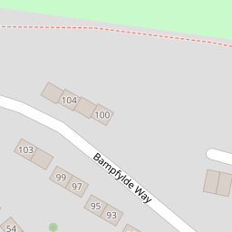
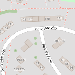
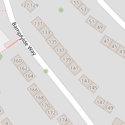
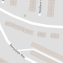
116 Bampfylde Way
£ 114,000
Description
We don't have a Description for this property.
- Bedrooms
- 2
- Bathrooms
- 0

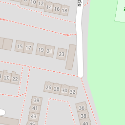

Leaflet © OpenStreetMap contributors
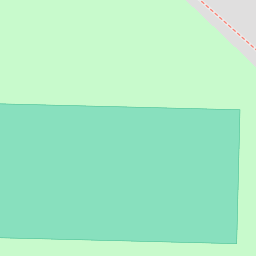
The heatmap indicates the level of crime in the area. The color of the heatmap indicates the crime severity and recency.
Metrics Year-on-Year
- Average area value
- 250,969.00 £Increased by 12.60 %
- Average area rental value
- 950.00 £/moIncreased by 2.26 %
- Est rental Yield
- 4.54 %Decreased by 9.20 %
- Crime Rate
- 5.00 %Unchanged by 0.00 %
from 222,882.00 £
from 929.00 £/mo
from 5.00 %
from 5.00 %
Nearby Schools
| Name | Type | Ofsted | Distance |
|---|---|---|---|
| Woodlands School | Foundation Special School | Good | 0.73 KM |
| Southernway Children'S Centre | Children's Centre | 0.94 KM | |
| Whitleigh Community Primary School | Foundation School | Good | 0.99 KM |
| Beechwood Primary Academy | Academy Converter | Good | 1.04 KM |
| Woodfield Primary School | Academy Converter | Good | 1.21 KM |
Images
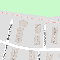
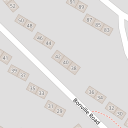
Nearby Streets
| Name | Average Price | Average Sqft | Distance |
|---|---|---|---|
| Magnus Close | £ 0 | 0 | 0.00 KM |
| Looseleigh Lane | £ 425,000 | 0 | 0.00 KM |
| Porsham Lane | £ 0 | 0 | 0.00 KM |
| Silver Hill Close | £ 0 | 0 | 0.00 KM |
| Allern Lane | £ 290,000 | 0 | 0.00 KM |
Nearby Transport
| Name | NLC | TLC | Distance |
|---|---|---|---|
| Bere Ferrers | 3550 | BFE | 5.14 KM |
| Plymouth | 3580 | PLY | 5.48 KM |
| St Budeaux Ferry Road | 3590 | SBF | 5.75 KM |
| St Budeaux Victoria Road | 3592 | SBV | 5.77 KM |
| Keyham | 3571 | KEY | 5.89 KM |
Nearby Listings
| Address | Price | Type | Score | Distance |
|---|---|---|---|---|
| Bonville Road, Plymouth, PL6 6TE | £ 210,000 | BUY | Unknown | 0.09 KM |
| Bampfylde Way, Plymouth, PL6 6ST | £ 250,000 | BUY | 7 / 10 | 0.12 KM |
| Hurrell Close, Plymouth | £ 190,000 | BUY | 6 / 10 | 0.22 KM |
| Bampfylde Way, PLYMOUTH, Devon, PL6 | £ 110,000 | BUY | 7 / 10 | 0.22 KM |
| Hornbrook Gardens, Southway, Plymouth | £ 170,000 | BUY | Unknown | 0.23 KM |
Nearby Properties
| Address | Price | Distance |
|---|---|---|
| 116 Bampfylde Way | £ 114,000 | 0.00 KM |
| 91 Bampfylde Way | £ 85,000 | 0.00 KM |
| 97 Bampfylde Way | £ 95,000 | 0.00 KM |
| 122 Bampfylde Way | £ 192,000 | 0.00 KM |
| 60 Bonville Road | £ 165,000 | 0.09 KM |