UN
25 Fore Street
£ 210,000
Description
We don't have a Description for this property.
- Bedrooms
- 3
- Bathrooms
- 0
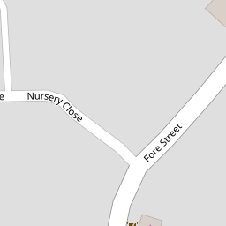
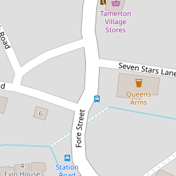
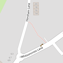
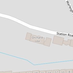

Leaflet © OpenStreetMap contributors
The heatmap indicates the level of crime in the area. The color of the heatmap indicates the crime severity and recency.
Metrics Year-on-Year
- Average area value
- 250,969.00 £Increased by 12.60 %
- Average area rental value
- 950.00 £/moIncreased by 2.26 %
- Est rental Yield
- 4.54 %Decreased by 9.20 %
- Crime Rate
- 4.00 %Unchanged by 0.00 %
from 222,882.00 £
from 929.00 £/mo
from 5.00 %
from 4.00 %
Nearby Schools
| Name | Type | Ofsted | Distance |
|---|---|---|---|
| Mary Dean'S Cofe Primary School | Voluntary Controlled School | Good | 0.45 KM |
| St Peter'S Rc Primary School | Academy Converter | Good | 0.91 KM |
| Woodfield Primary School | Academy Converter | Good | 1.09 KM |
| Whitleigh Children'S Centre | Children's Centre | 1.27 KM | |
| Brook Green Centre For Learning | Community Special School | Outstanding | 1.28 KM |
Images
Nearby Streets
| Name | Average Price | Average Sqft | Distance |
|---|---|---|---|
| Allern Lane | £ 290,000 | 0 | 0.00 KM |
| Carbis Close | £ 131,250 | 0 | 0.00 KM |
| Trowbridge Close | £ 105,000 | 0 | 0.00 KM |
| Marldon Close | £ 130,000 | 0 | 0.00 KM |
Nearby Transport
| Name | NLC | TLC | Distance |
|---|---|---|---|
| Bere Ferrers | 3550 | BFE | 3.77 KM |
| St Budeaux Ferry Road | 3590 | SBF | 4.60 KM |
| St Budeaux Victoria Road | 3592 | SBV | 4.60 KM |
| Keyham | 3571 | KEY | 5.08 KM |
| Dockyard (Devonport) | 3588 | DOC | 5.65 KM |
Nearby Listings
| Address | Price | Type | Score | Distance |
|---|---|---|---|---|
| Fore Street, Tamerton Foliot, Plymouth | £ 230,000 | BUY | 6 / 10 | 0.01 KM |
| Lawsons Fore Street, Tamerton Foliot, Plymouth | £ 300,000 | BUY | 6 / 10 | 0.03 KM |
| Horsham Lane, Tamerton Foliot, Plymouth | £ 120,000 | BUY | 5 / 10 | 0.22 KM |
| Horsham Lane, Tamerton Foliot, Plymouth | £ 465,000 | BUY | Unknown | 0.26 KM |
| Twelve Trees, Tamerton Foliot, Plymouth | £ 350,000 | BUY | 6 / 10 | 0.27 KM |
Nearby Properties
| Address | Price | Distance |
|---|---|---|
| 25 Fore Street | £ 210,000 | 0.00 KM |
| 17 Fore Street | £ 78,000 | 0.00 KM |
| Carrs House | £ 200,000 | 0.00 KM |
| Tamerton Lodge | £ 212,500 | 0.00 KM |
| Island House | £ 151,000 | 0.00 KM |