UN
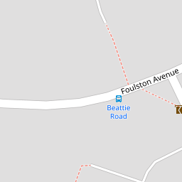
2 Beattie Road
£ 207,000
Description
We don't have a Description for this property.
- Bedrooms
- 3
- Bathrooms
- 0
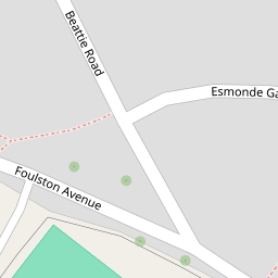

Leaflet © OpenStreetMap contributors
The heatmap indicates the level of crime in the area. The color of the heatmap indicates the crime severity and recency.
Metrics Year-on-Year
- Average area value
- 219,483.00 £Increased by 11.98 %
- Average area rental value
- 1,033.00 £/moIncreased by 23.71 %
- Est rental Yield
- 5.65 %Increased by 10.57 %
- Crime Rate
- 13.00 %Unchanged by 0.00 %
from 195,999.00 £
from 835.00 £/mo
from 5.11 %
from 13.00 %
Nearby Schools
| Name | Type | Ofsted | Distance |
|---|---|---|---|
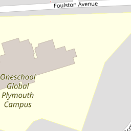
| Oneschool Global Uk Plymouth Campus | Other Independent School | 0.08 KM | |
| Riverside Community Primary School | Foundation School | Good | 0.69 KM |
| St Paul'S Roman Catholic Primary School | Academy Sponsor Led | Good | 1.04 KM |
| Tamar Folk (For Our Local Kids) Children'S Centre | Children's Centre | 1.35 KM | |
| Victoria Road Primary | Academy Converter | 1.39 KM |
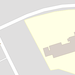
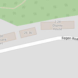
Images
Nearby Streets
| Name | Average Price | Average Sqft | Distance |
|---|---|---|---|
| Old Farm Road | £ 0 | 0 | 0.00 KM |
| The Moorings | £ 800,000 | 0 | 0.00 KM |
| Coombe Road | £ 0 | 0 | 0.00 KM |
Nearby Transport
| Name | NLC | TLC | Distance |
|---|---|---|---|
| St Budeaux Victoria Road | 3592 | SBV | 1.15 KM |
| St Budeaux Ferry Road | 3590 | SBF | 1.21 KM |
| Saltash | 3587 | STS | 1.46 KM |
| Keyham | 3571 | KEY | 2.33 KM |
| Dockyard (Devonport) | 3588 | DOC | 3.17 KM |
Nearby Listings
| Address | Price | Type | Score | Distance |
|---|---|---|---|---|
| Beattie Road, Plymouth, Devon, PL5 | £ 8,000 | BUY | 2 / 10 | 0.00 KM |
| Fegen Road, Barne Barton | £ 190,000 | BUY | 7 / 10 | 0.18 KM |
| Fegen Road, Plymouth, Devon | £ 85,000 | BUY | 5 / 10 | 0.19 KM |
| Foulston Avenue, Plymouth | £ 200,000 | BUY | 7 / 10 | 0.25 KM |
| Fegen Road, Plymouth, Devon, PL5 | £ 110,000 | BUY | 7 / 10 | 0.25 KM |
Nearby Properties
| Address | Price | Distance |
|---|---|---|
| 2 Beattie Road | £ 207,000 | 0.00 KM |
| 94 Foulston Avenue | £ 157,500 | 0.08 KM |
| 72 Foulston Avenue | £ 97,000 | 0.08 KM |
| 84 Foulston Avenue | £ 190,000 | 0.08 KM |
| 57 Foulston Avenue | £ 36,000 | 0.08 KM |