UN
114 Devonport Road
£ 550,000
Description
We don't have a Description for this property.
- Bedrooms
- 6
- Bathrooms
- 0


Leaflet © OpenStreetMap contributors
The heatmap indicates the level of crime in the area. The color of the heatmap indicates the crime severity and recency.
Metrics Year-on-Year
- Average area value
- 299,070.00 £Increased by 5.58 %
- Average area rental value
- 1,345.00 £/moIncreased by 28.34 %
- Est rental Yield
- 5.40 %Increased by 21.62 %
- Crime Rate
- 7.00 %Unchanged by 0.00 %
from 283,258.00 £
from 1,048.00 £/mo
from 4.44 %
from 7.00 %
Nearby Schools
| Name | Type | Ofsted | Distance |
|---|---|---|---|
| Stoke Damerel Primary School | Academy Converter | Good | 0.36 KM |
| City College Plymouth | Further Education | Good | 0.51 KM |
| Utc Plymouth | University Technical College | 0.78 KM | |
| Devonport High School For Boys | Academy Converter | 0.88 KM | |
| Green Ark Children'S Centre | Children's Centre | 0.92 KM |
Images
Nearby Streets
| Name | Average Price | Average Sqft | Distance |
|---|---|---|---|
| Napier Street | £ 0 | 0 | 0.00 KM |
| Keppel Street | £ 140,000 | 0 | 0.00 KM |
| Church Street | £ 280,000 | 0 | 0.00 KM |
| Pasley Street East | £ 225,000 | 0 | 0.00 KM |
| The Elms | £ 0 | 0 | 0.00 KM |
Nearby Transport
| Name | NLC | TLC | Distance |
|---|---|---|---|
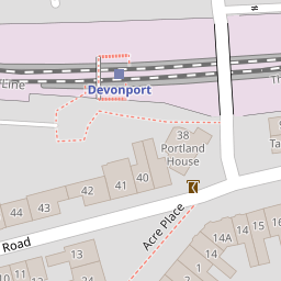
| Devonport | 3579 | DPT | 0.24 KM |
| Dockyard (Devonport) | 3588 | DOC | 0.92 KM |
| Keyham | 3571 | KEY | 1.77 KM |
| Plymouth | 3580 | PLY | 2.79 KM |
| St Budeaux Ferry Road | 3590 | SBF | 3.26 KM |
Nearby Listings
| Address | Price | Type | Score | Distance |
|---|---|---|---|---|
| Devonport Road, Stoke, PL1 5RF | £ 425,000 | BUY | 7 / 10 | 0.07 KM |
| Clarendon House, 1-3 Albert Road, Plymouth, Devon, PL2 | £ 180,000 | BUY | 6 / 10 | 0.09 KM |
| Albert Road, Plymouth, Devon, PL2 | £ 100,000 | BUY | 5 / 10 | 0.09 KM |
| Albert Road, Clarendon House, PL2 | £ 475,000 | BUY | 5 / 10 | 0.10 KM |
| Clarendon House, Albert Road, Plymouth | £ 190,000 | BUY | 6 / 10 | 0.10 KM |
Nearby Properties
| Address | Price | Distance |
|---|---|---|
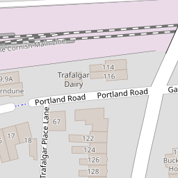
| 116 Devonport Road | £ 237,000 | 0.00 KM |
| 114 Devonport Road | £ 550,000 | 0.00 KM |
| 146a Devonport Road | £ 168,000 | 0.07 KM |
| 124 Devonport Road | £ 335,000 | 0.07 KM |
| 134 Devonport Road | £ 340,000 | 0.07 KM |