UN
56b High Street
£ 155,000
Description
We don't have a Description for this property.
- Bedrooms
- 2
- Bathrooms
- 0
- Sqft
- 929.00
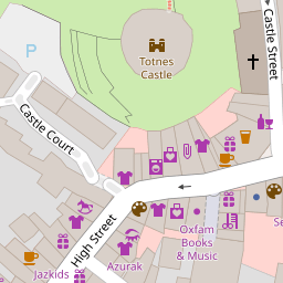
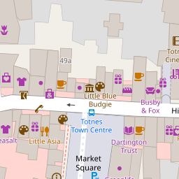
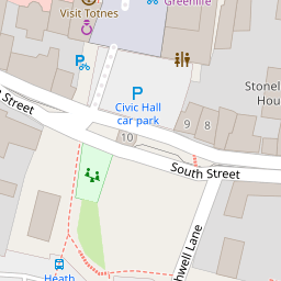

Leaflet © OpenStreetMap contributors
The heatmap indicates the level of crime in the area. The color of the heatmap indicates the crime severity and recency.
Metrics Year-on-Year
- Average area value
- 275,043.00 £Decreased by 5.93 %
- Est sale value
- 193,232.00 £Decreased by 23.81 %
- Average area rental value
- 1,007.00 £/moIncreased by 20.31 %
- Est letting value
- 0.00 £/mo
- Est rental Yield
- 4.39 %Increased by 27.62 %
- Crime Rate
- 73.00 %Unchanged by 0.00 %
from 292,391.00 £
from 253,617.00 £
from 837.00 £/mo
from 0.00 £/mo
from 3.44 %
from 73.00 %
Nearby Schools
| Name | Type | Ofsted | Distance |
|---|---|---|---|
| The Grove School | Community School | Outstanding | 0.28 KM |
| Totnes Progressive School | Other Independent School | 0.59 KM | |
| King Edward Vi Community College | Foundation School | Good | 0.91 KM |
| On Track Education - Totnes | Other Independent Special School | Good | 1.07 KM |
| Roc College (Part Of United Response) | Special Post 16 Institution | Good | 1.34 KM |
Images
Nearby Streets
| Name | Average Price | Average Sqft | Distance |
|---|---|---|---|
| North Street Mews | £ 325,000 | 0 | 0.00 KM |
| Priory Gardens | £ 0 | 0 | 0.00 KM |
| Swallowfields | £ 415,000 | 0 | 0.00 KM |
| Dartington Lane | £ 350,000 | 0 | 0.00 KM |
| Brooklands | £ 460,000 | 0 | 0.00 KM |
Nearby Transport
| Name | NLC | TLC | Distance |
|---|---|---|---|
| Totnes | 3558 | TOT | 0.53 KM |
Nearby Listings
| Address | Price | Type | Score | Distance |
|---|---|---|---|---|
| High Street, Totnes, Devon, TQ9 | £ 125,000 | BUY | Unknown | 0.00 KM |
| High Street, Totnes, TQ9 | £ 350,000 | BUY | Unknown | 0.01 KM |
| Totnes | £ 780,000 | BUY | 6 / 10 | 0.06 KM |
| Elmhirst Lodge, Totnes | £ 350,000 | BUY | 8 / 10 | 0.06 KM |
| Elmhirst Lodge, Station Road, Totnes | £ 352,950 | BUY | Unknown | 0.06 KM |
Nearby Properties
| Address | Price | Distance |
|---|---|---|
| 72 High Street | £ 249,000 | 0.00 KM |
| 56b High Street | £ 155,000 | 0.00 KM |
| The Store | £ 360,000 | 0.08 KM |
| 79a High Street | £ 205,000 | 0.08 KM |
| 63b High Street | £ 180,550 | 0.08 KM |