UN
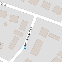
5 Lansdowne Park
£ 220,000
Description
We don't have a Description for this property.
- Bedrooms
- 3
- Bathrooms
- 0
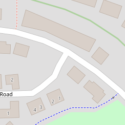
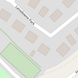

Leaflet © OpenStreetMap contributors
The heatmap indicates the level of crime in the area. The color of the heatmap indicates the crime severity and recency.
Metrics Year-on-Year
- Average area value
- 275,043.00 £Decreased by 5.93 %
- Average area rental value
- 1,007.00 £/moIncreased by 20.31 %
- Est rental Yield
- 4.39 %Increased by 27.62 %
- Crime Rate
- 26.00 %Unchanged by 0.00 %
from 292,391.00 £
from 837.00 £/mo
from 3.44 %
from 26.00 %
Nearby Schools
| Name | Type | Ofsted | Distance |
|---|---|---|---|
| Totnes St John'S Church Of England Primary School | Academy Sponsor Led | 0.28 KM | |
| Daisy Play Centre Totnes And District Children'S Centre | Children's Centre | 0.43 KM | |
| Roc College (Part Of United Response) | Special Post 16 Institution | Good | 0.61 KM |
| On Track Education - Totnes | Other Independent Special School | Good | 1.07 KM |
| The Grove School | Community School | Outstanding | 1.57 KM |
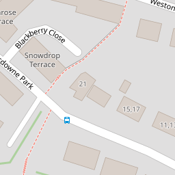
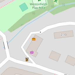
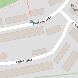
Images
Nearby Streets
| Name | Average Price | Average Sqft | Distance |
|---|---|---|---|
| Brooklands | £ 460,000 | 0 | 0.00 KM |
| Paradise Walk | £ 0 | 0 | 0.00 KM |
| Elm Walk | £ 265,000 | 0 | 0.00 KM |
| Pomeroy Villas (private) | £ 0 | 0 | 0.00 KM |
| Furze Road | £ 0 | 0 | 0.00 KM |
Nearby Transport
| Name | NLC | TLC | Distance |
|---|---|---|---|
| Totnes | 3558 | TOT | 1.87 KM |
Nearby Listings
| Address | Price | Type | Score | Distance |
|---|---|---|---|---|
| Lansdowne Park, Totnes | £ 375,000 | BUY | 6 / 10 | 0.04 KM |
| Totnes | £ 425,000 | BUY | Unknown | 0.10 KM |
| Home Reach Avenue, Totnes | £ 350,000 | BUY | 8 / 10 | 0.10 KM |
| Lansdowne Park, Totnes | £ 450,000 | BUY | 6 / 10 | 0.13 KM |
| Culverdale, Totnes | £ 425,000 | BUY | 6 / 10 | 0.18 KM |
Nearby Properties
| Address | Price | Distance |
|---|---|---|
| 17 Lansdowne Park | £ 240,000 | 0.00 KM |
| 37 Lansdowne Park | £ 285,000 | 0.00 KM |
| 5 Lansdowne Park | £ 220,000 | 0.00 KM |
| 29 Lansdowne Park | £ 217,000 | 0.00 KM |
| 19 Lansdowne Park | £ 155,500 | 0.03 KM |