UN
1 Packs Close
£ 140,000
Description
We don't have a Description for this property.
- Bedrooms
- 2
- Bathrooms
- 0
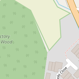
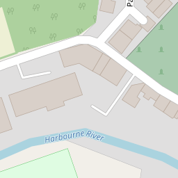
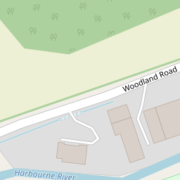
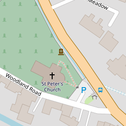

Leaflet © OpenStreetMap contributors
The heatmap indicates the level of crime in the area. The color of the heatmap indicates the crime severity and recency.
Metrics Year-on-Year
- Average area value
- 275,043.00 £Decreased by 5.93 %
- Average area rental value
- 1,007.00 £/moIncreased by 20.31 %
- Est rental Yield
- 4.39 %Increased by 27.62 %
- Crime Rate
- 70.00 %Unchanged by 0.00 %
from 292,391.00 £
from 837.00 £/mo
from 3.44 %
from 70.00 %
Nearby Schools
| Name | Type | Ofsted | Distance |
|---|---|---|---|
| Harbertonford Church Of England Primary School | Academy Converter | Good | 0.35 KM |
| The Grove School | Community School | Outstanding | 4.97 KM |
| Roc College (Part Of United Response) | Special Post 16 Institution | Good | 5.20 KM |
| Totnes Progressive School | Other Independent School | 5.30 KM | |
| King Edward Vi Community College | Foundation School | Good | 5.30 KM |
Images
Nearby Transport
| Name | NLC | TLC | Distance |
|---|---|---|---|
| Totnes | 3558 | TOT | 5.44 KM |
Nearby Listings
| Address | Price | Type | Score | Distance |
|---|---|---|---|---|
| Harbertonford, Devon | £ 350,000 | BUY | 6 / 10 | 0.12 KM |
| Woodcourt Road, Harbertonford | £ 750,000 | BUY | 7 / 10 | 0.17 KM |
| Woodland Road, Harbertonford, Totnes, Devon, TQ9 | £ 650,000 | BUY | Unknown | 0.18 KM |
| Woodcourt Road, Harbertonford | £ 250,000 | BUY | Unknown | 0.19 KM |
| Mill View, Harbertonford | £ 795,000 | BUY | 6 / 10 | 0.20 KM |
Nearby Properties
| Address | Price | Distance |
|---|---|---|
| 1 Packs Close | £ 140,000 | 0.00 KM |
| 10 Packs Close | £ 54,950 | 0.00 KM |
| 4 Packs Close | £ 133,000 | 0.00 KM |
| 9 Packs Close | £ 142,500 | 0.00 KM |
| 11 Packs Close | £ 147,000 | 0.00 KM |