UN
42b Fore Street
£ 135,000
Description
We don't have a Description for this property.
- Bedrooms
- 2
- Bathrooms
- 0
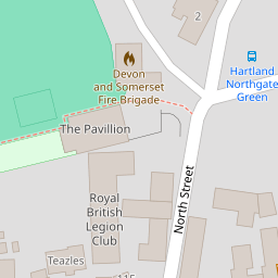
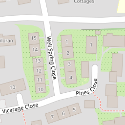

Leaflet © OpenStreetMap contributors
The heatmap indicates the level of crime in the area. The color of the heatmap indicates the crime severity and recency.
Metrics Year-on-Year
- Average area value
- 388,843.00 £Increased by 60.37 %
- Average area rental value
- 1,205.00 £/moIncreased by 27.51 %
- Est rental Yield
- 3.72 %Decreased by 20.51 %
- Crime Rate
- 165.00 %Unchanged by 0.00 %
from 242,460.00 £
from 945.00 £/mo
from 4.68 %
from 165.00 %
Nearby Schools
| Name | Type | Ofsted | Distance |
|---|---|---|---|
| Hartland Primary School | Foundation School | Good | 0.28 KM |
Images
Nearby Streets
| Name | Average Price | Average Sqft | Distance |
|---|---|---|---|
| The Square | £ 495,000 | 0 | 0.00 KM |
| Northgate | £ 0 | 0 | 0.00 KM |
| Philham Lane | £ 390,000 | 0 | 0.00 KM |
Nearby Listings
| Address | Price | Type | Score | Distance |
|---|---|---|---|---|
| Fore Street, Hartland | £ 170,000 | BUY | 5 / 10 | 0.01 KM |
| Fore Street, Hartland | £ 325,000 | BUY | 6 / 10 | 0.01 KM |
| Hartland, Bideford | £ 165,000 | BUY | 5 / 10 | 0.01 KM |
| The Square, Hartland | £ 525,000 | BUY | 8 / 10 | 0.10 KM |
| The Square, Hartland, Bideford | £ 350,000 | BUY | 5 / 10 | 0.14 KM |
Nearby Properties
| Address | Price | Distance |
|---|---|---|
| 42b Fore Street | £ 135,000 | 0.00 KM |
| 42 Fore Street | £ 200,000 | 0.01 KM |
| 31 Fore Street | £ 47,000 | 0.01 KM |
| 65 The Square | £ 272,000 | 0.13 KM |
| 82 The Square | £ 310,000 | 0.14 KM |