UN
5 Penhale Drive
£ 240,000
Description
We don't have a Description for this property.
- Bedrooms
- 4
- Bathrooms
- 0
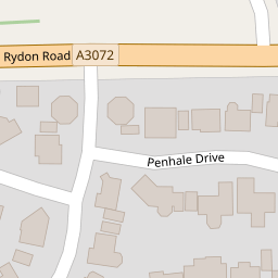
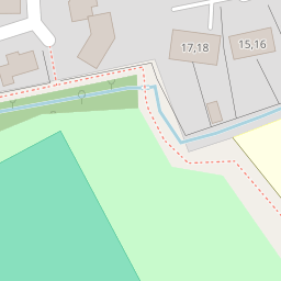

Leaflet © OpenStreetMap contributors
The heatmap indicates the level of crime in the area. The color of the heatmap indicates the crime severity and recency.
Metrics Year-on-Year
- Average area value
- 281,658.00 £Decreased by 15.98 %
- Average area rental value
- 738.00 £/moDecreased by 5.02 %
- Est rental Yield
- 3.14 %Increased by 12.95 %
- Crime Rate
- 16.00 %Unchanged by 0.00 %
from 335,235.00 £
from 777.00 £/mo
from 2.78 %
from 16.00 %
Nearby Schools
| Name | Type | Ofsted | Distance |
|---|---|---|---|
| Holsworthy Community College | Academy Converter | 0.41 KM | |
| Holsworthy & District Children'S Centre | Children's Centre | 0.43 KM | |
| Holsworthy Church Of England Primary School | Voluntary Controlled School | Good | 0.58 KM |
| The Copper Academy | Other Independent Special School | 0.59 KM | |
| Clawton Primary School | Academy Converter | 5.72 KM |
Images
Nearby Streets
| Name | Average Price | Average Sqft | Distance |
|---|---|---|---|
| Central Avenue | £ 350,000 | 0 | 0.00 KM |
| Penhale Gardens | £ 515,000 | 0 | 0.00 KM |
| High Street | £ 325,000 | 0 | 0.00 KM |
| Fore Street | £ 450,000 | 0 | 0.00 KM |
| Park Close | £ 275,000 | 0 | 0.00 KM |
Nearby Listings
| Address | Price | Type | Score | Distance |
|---|---|---|---|---|
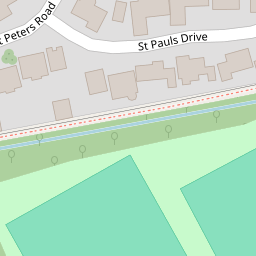
| St Pauls Drive, Holsworthy, Devon, EX22 | £ 395,000 | BUY | Unknown | 0.06 KM |
| Oak Court, Holsworthy, EX22 | £ 250,000 | BUY | 6 / 10 | 0.24 KM |
| Brooks Avenue, Holsworthy, Devon, EX22 | £ 335,000 | BUY | 6 / 10 | 0.29 KM |
| Brooks Avenue, Holsworthy, Devon, EX22 | £ 210,000 | BUY | Unknown | 0.29 KM |
| Brooks Avenue, Holsworthy, Devon, EX22 | £ 185,000 | BUY | Unknown | 0.29 KM |
Nearby Properties
| Address | Price | Distance |
|---|---|---|
| 3 Penhale Drive | £ 240,000 | 0.00 KM |
| 8 Penhale Drive | £ 249,000 | 0.00 KM |
| 7 Penhale Drive | £ 255,000 | 0.00 KM |
| 5 Penhale Drive | £ 240,000 | 0.00 KM |
| 6 Penhale Drive | £ 303,500 | 0.00 KM |