UN
Orchard Lea
£ 472,500
Description
We don't have a Description for this property.
- Bedrooms
- 4
- Bathrooms
- 0
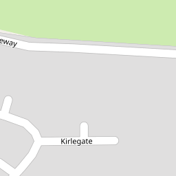

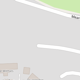

Leaflet © OpenStreetMap contributors
The heatmap indicates the level of crime in the area. The color of the heatmap indicates the crime severity and recency.
Metrics Year-on-Year
- Average area value
- 274,990.00 £Decreased by 21.89 %
- Average area rental value
- 838.00 £/moDecreased by 3.12 %
- Est rental Yield
- 3.66 %Increased by 24.07 %
- Crime Rate
- 4.00 %Unchanged by 0.00 %
from 352,053.00 £
from 865.00 £/mo
from 2.95 %
from 4.00 %
Nearby Schools
| Name | Type | Ofsted | Distance |
|---|---|---|---|
| Abbot'S Way School | Other Independent Special School | 0.39 KM | |
| Meare Village Primary School | Community School | Outstanding | 1.17 KM |
| Ashcott Primary School | Community School | Good | 4.94 KM |
| The Levels School | Other Independent Special School | 5.32 KM | |
| Walton Church Of England Voluntary Controlled Primary School | Voluntary Controlled School | Outstanding | 5.83 KM |
Images
Nearby Streets
| Name | Average Price | Average Sqft | Distance |
|---|---|---|---|
| Moorview Close | £ 252,475 | 0 | 0.00 KM |
| Chapel Lane | £ 750,000 | 0 | 0.00 KM |
| Main Road | £ 950,000 | 0 | 0.00 KM |
| Westhay Moor Drove | £ 0 | 0 | 0.00 KM |
Nearby Listings
| Address | Price | Type | Score | Distance |
|---|---|---|---|---|
| Kirle Gate, Meare | £ 380,000 | BUY | 7 / 10 | 0.13 KM |
| Kirle Gate, Meare, Glastonbury, BA6 | £ 415,000 | BUY | 6 / 10 | 0.13 KM |
| Kirle Gate, Meare | £ 455,000 | BUY | 7 / 10 | 0.15 KM |
| Kirle Gate, Meare | £ 420,000 | BUY | 7 / 10 | 0.20 KM |
| Downs Orchard, Meare, Glastonbury | £ 395,000 | BUY | 6 / 10 | 0.23 KM |
Nearby Properties
| Address | Price | Distance |
|---|---|---|
| Orchard Lea | £ 472,500 | 0.00 KM |
| Pound House | £ 737,500 | 0.00 KM |
| 37 Meareway | £ 345,000 | 0.00 KM |
| Rosevene | £ 257,500 | 0.00 KM |
| 1 Myrtle Close | £ 225,000 | 0.06 KM |