UN
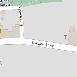
3 Church Lane
£ 295,000
Description
We don't have a Description for this property.
- Bedrooms
- 2
- Bathrooms
- 0

Leaflet © OpenStreetMap contributors
The heatmap indicates the level of crime in the area. The color of the heatmap indicates the crime severity and recency.
Metrics Year-on-Year
- Average area value
- 565,590.00 £Decreased by 3.13 %
- Average area rental value
- 1,171.00 £/moDecreased by 19.46 %
- Est rental Yield
- 2.48 %Decreased by 17.06 %
- Crime Rate
- 131.00 %Unchanged by 0.00 %
from 583,842.00 £
from 1,454.00 £/mo
from 2.99 %
from 131.00 %
Nearby Schools
| Name | Type | Ofsted | Distance |
|---|---|---|---|
| Axbridge Church Of England First School Academy | Academy Converter | 0.19 KM | |
| Sidcot School | Other Independent School | 2.95 KM | |
| Shipham Church Of England First School | Academy Converter | 3.67 KM | |
| Winscombe Primary School | Academy Converter | 3.69 KM | |
| Cheddar Building | Children's Centre Linked Site | 3.94 KM |
Images
Nearby Streets
| Name | Average Price | Average Sqft | Distance |
|---|---|---|---|
| Parkfield Road | £ 317,500 | 0 | 0.00 KM |
| Bailiffs' Wall | £ 0 | 0 | 0.00 KM |
Nearby Listings
| Address | Price | Type | Score | Distance |
|---|---|---|---|---|
| Midway Cottage, Church Lane, Axbridge | £ 299,950 | BUY | 5 / 10 | 0.01 KM |
| St. Marys Street, Axbridge, BS26 | £ 699,950 | BUY | 6 / 10 | 0.06 KM |
| St. Marys Street, Axbridge | £ 549,995 | BUY | 7 / 10 | 0.09 KM |
| The Pennings, St Marys Street, AXBRIDGE, Somerset, BS26 | £ 190,000 | BUY | 5 / 10 | 0.10 KM |
| St. Marys Street, Axbridge, Somerset, BS26 | £ 2,395,000 | BUY | 8 / 10 | 0.10 KM |
Nearby Properties
| Address | Price | Distance |
|---|---|---|
| 1 Church Lane | £ 31,000 | 0.00 KM |
| 3 Church Lane | £ 295,000 | 0.00 KM |
| 2 Church Lane | £ 271,500 | 0.00 KM |
| The Old Court House | £ 159,000 | 0.08 KM |
| The Old Rectory | £ 640,000 | 0.08 KM |