UN
7 Church Lane
£ 199,950
Description
We don't have a Description for this property.
- Bedrooms
- 2
- Bathrooms
- 0
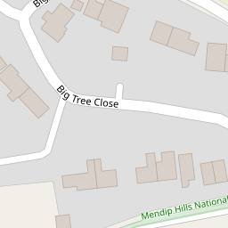
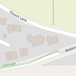


Leaflet © OpenStreetMap contributors
The heatmap indicates the level of crime in the area. The color of the heatmap indicates the crime severity and recency.
Metrics Year-on-Year
- Average area value
- 565,590.00 £Decreased by 3.13 %
- Average area rental value
- 1,171.00 £/moDecreased by 19.46 %
- Est rental Yield
- 2.48 %Decreased by 17.06 %
- Crime Rate
- 44.00 %Unchanged by 0.00 %
from 583,842.00 £
from 1,454.00 £/mo
from 2.99 %
from 44.00 %
Nearby Schools
| Name | Type | Ofsted | Distance |
|---|---|---|---|
| Weare Academy First School | Academy Converter | 2.25 KM | |
| Banwell, Winscombe And Sandford | Children's Centre | 4.18 KM | |
| Winscombe Primary School | Academy Converter | 4.50 KM | |
| Axbridge Church Of England First School Academy | Academy Converter | 4.74 KM | |
| Sidcot School | Other Independent School | 4.88 KM |
Images
Nearby Transport
| Name | NLC | TLC | Distance |
|---|---|---|---|
| Worle | 3390 | WOR | 9.21 KM |
Nearby Listings
| Address | Price | Type | Score | Distance |
|---|---|---|---|---|
| Big Tree Close, Compton Bishop, Axbridge | £ 485,000 | BUY | 7 / 10 | 0.07 KM |
| Church Lane, Compton Bishop, Axbridge | £ 475,000 | BUY | Unknown | 0.17 KM |
| Compton Bishop, Axbridge | £ 1,000,000 | BUY | 6 / 10 | 0.75 KM |
| Lot 2: Land At Compton Bishop Farm, Axbridge, Somerset, BS26 | £ 100,000 | BUY | Unknown | 1.18 KM |
| Lot 1: Land At Compton Bishop Farm, Axbridge, Somerset, BS26 | £ 250,000 | BUY | Unknown | 1.18 KM |
Nearby Properties
| Address | Price | Distance |
|---|---|---|
| 1 Church Lane | £ 250,000 | 0.00 KM |
| 7 Church Lane | £ 199,950 | 0.00 KM |
| 9 Big Tree Close | £ 186,000 | 0.07 KM |
| 16 Big Tree Close | £ 242,000 | 0.07 KM |
| 18 Big Tree Close | £ 390,000 | 0.07 KM |