UN
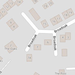
7 Broadoak
£ 223,000
Description
We don't have a Description for this property.
- Bedrooms
- 3
- Bathrooms
- 0
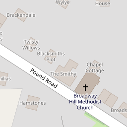

Leaflet © OpenStreetMap contributors
The heatmap indicates the level of crime in the area. The color of the heatmap indicates the crime severity and recency.
Metrics Year-on-Year
- Average area value
- 423,333.00 £Decreased by 28.10 %
- Average area rental value
- 1,400.00 £/moIncreased by 20.38 %
- Est rental Yield
- 3.97 %Increased by 67.51 %
- Crime Rate
- 53.00 %Unchanged by 0.00 %
from 588,750.00 £
from 1,163.00 £/mo
from 2.37 %
from 53.00 %
Nearby Schools
| Name | Type | Ofsted | Distance |
|---|---|---|---|
| Neroche Primary School | Academy Converter | 0.92 KM | |
| Ashill Community Primary School | Academy Converter | 2.31 KM | |
| 3 Dimensions | Other Independent Special School | Good | 4.70 KM |
| Combe St Nicholas Church Of England Va Primary School | Voluntary Aided School | Good | 4.71 KM |
| St Mary'S & St Peter'S Church School | Academy Sponsor Led | 5.47 KM |
Images
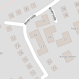
Nearby Streets
| Name | Average Price | Average Sqft | Distance |
|---|---|---|---|
| Riverside | £ 0 | 0 | 0.00 KM |
| Broadway Hill | £ 0 | 0 | 0.00 KM |
| Church Lane | £ 0 | 0 | 0.00 KM |
| The Lane | £ 475,000 | 0 | 0.00 KM |
| Everys Almshouses | £ 375,000 | 0 | 0.00 KM |
Nearby Listings
| Address | Price | Type | Score | Distance |
|---|---|---|---|---|
| Broadoak, Horton, Ilminster, Somerset, TA19 | £ 365,000 | BUY | 7 / 10 | 0.03 KM |
| Broadoak, Horton, Nr Ilminster, Somerset TA19 | £ 320,000 | BUY | 7 / 10 | 0.03 KM |
| Broadoak, Horton, Ilminster | £ 299,995 | BUY | 7 / 10 | 0.04 KM |
| Riverside, Horton, Ilminster | £ 525,000 | BUY | 7 / 10 | 0.10 KM |
| Pound Road, Horton, Ilminster | £ 550,000 | BUY | 7 / 10 | 0.12 KM |
Nearby Properties
| Address | Price | Distance |
|---|---|---|
| 7 Broadoak | £ 223,000 | 0.00 KM |
| 10 Broadoak | £ 250,000 | 0.00 KM |
| 2 Broadoak | £ 268,000 | 0.00 KM |
| 11 Broadoak | £ 51,700 | 0.00 KM |
| 17 Broadoak | £ 165,000 | 0.00 KM |