UN
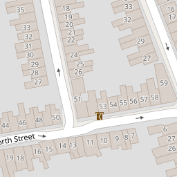
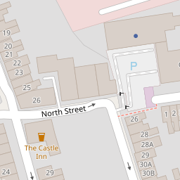
52 North Street
£ 245,000
Description
We don't have a Description for this property.
- Bedrooms
- 4
- Bathrooms
- 0
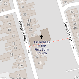

Leaflet © OpenStreetMap contributors
The heatmap indicates the level of crime in the area. The color of the heatmap indicates the crime severity and recency.
Metrics Year-on-Year
- Average area value
- 238,636.00 £Increased by 2.11 %
- Average area rental value
- 982.00 £/moDecreased by 1.70 %
- Est rental Yield
- 4.94 %Decreased by 3.70 %
- Crime Rate
- 5.00 %Unchanged by 0.00 %
from 233,708.00 £
from 999.00 £/mo
from 5.13 %
from 5.00 %
Nearby Schools
| Name | Type | Ofsted | Distance |
|---|---|---|---|
| King William Street Church Of England Primary School | Academy Converter | Good | 0.18 KM |
| Holy Rood Catholic Primary School | Academy Converter | Requires improvement | 0.42 KM |
| Lethbridge Primary School | Academy Converter | Good | 0.57 KM |
| The Commonweal School | Academy Converter | Good | 1.02 KM |
| Drove Children'S Centre | Children's Centre | 1.03 KM |
Images
Nearby Streets
| Name | Average Price | Average Sqft | Distance |
|---|---|---|---|
| Bow Court | £ 0 | 0 | 0.00 KM |
| Acril Court | £ 0 | 0 | 0.00 KM |
| The Mews | £ 0 | 0 | 0.00 KM |
| Crombey Street | £ 0 | 0 | 0.00 KM |
| Regent Circus | £ 306,667 | 0 | 0.00 KM |
Nearby Transport
| Name | NLC | TLC | Distance |
|---|---|---|---|
| Swindon (Wilts) | 3333 | SWI | 1.26 KM |
Nearby Listings
| Address | Price | Type | Score | Distance |
|---|---|---|---|---|
| North Street, Swindon | £ 120,000 | BUY | Unknown | 0.00 KM |
| North Street, Swindon, SN1 3JY | £ 350,000 | BUY | 7 / 10 | 0.00 KM |
| Cross Street, Swindon, Wiltshire, SN1 3JT | £ 190,000 | BUY | 7 / 10 | 0.04 KM |
| North Street, Old Town, Swindon | £ 250,000 | BUY | 7 / 10 | 0.06 KM |
| North Street, Swindon, SN1 | £ 160,000 | BUY | 4 / 10 | 0.07 KM |
Nearby Properties
| Address | Price | Distance |
|---|---|---|
| 42 North Street | £ 167,000 | 0.00 KM |
| 33 North Street | £ 41,000 | 0.00 KM |
| 48 North Street | £ 167,500 | 0.00 KM |
| 50 North Street | £ 145,000 | 0.00 KM |
| 52 North Street | £ 245,000 | 0.00 KM |