UN
7 Phoebe Way
£ 222,000
Description
We don't have a Description for this property.
- Bedrooms
- 4
- Bathrooms
- 0
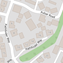
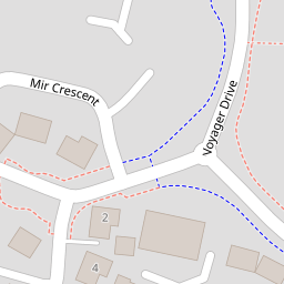
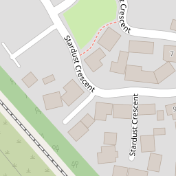
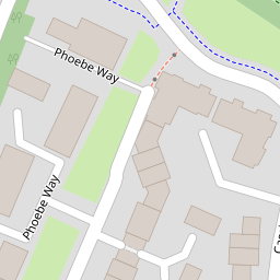
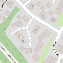

Leaflet © OpenStreetMap contributors
The heatmap indicates the level of crime in the area. The color of the heatmap indicates the crime severity and recency.
Metrics Year-on-Year
- Average area value
- 286,276.00 £Increased by 7.06 %
- Average area rental value
- 1,180.00 £/moIncreased by 4.80 %
- Est rental Yield
- 4.95 %Decreased by 1.98 %
- Crime Rate
- 17.00 %Unchanged by 0.00 %
from 267,391.00 £
from 1,126.00 £/mo
from 5.05 %
from 17.00 %
Nearby Schools
| Name | Type | Ofsted | Distance |
|---|---|---|---|
| Oakhurst Community Primary School | Community School | Good | 0.38 KM |
| Red Oaks Primary School | Academy Converter | 0.98 KM | |
| Brimble Hill Special School | Academy Special Converter | 1.20 KM | |
| St Francis Cofe Primary School | Voluntary Aided School | Outstanding | 1.37 KM |
| Uplands School | Academy Special Converter | 1.60 KM |
Images
Nearby Streets
| Name | Average Price | Average Sqft | Distance |
|---|---|---|---|
| Stonywell | £ 455,000 | 0 | 0.00 KM |
| Greenwood Place | £ 0 | 0 | 0.00 KM |
| River View | £ 450,000 | 0 | 0.00 KM |
| Sage Close | £ 0 | 0 | 0.00 KM |
Nearby Transport
| Name | NLC | TLC | Distance |
|---|---|---|---|
| Swindon (Wilts) | 3333 | SWI | 6.61 KM |
Nearby Listings
| Address | Price | Type | Score | Distance |
|---|---|---|---|---|
| Phoebe Way, Swindon, Wiltshire, SN25 | £ 325,000 | BUY | 7 / 10 | 0.02 KM |
| Pathfinder Way, Oakhurst, Swindon, SN25 | £ 400,000 | BUY | 7 / 10 | 0.06 KM |
| Phoebe Way, Swindon, Wiltshire, SN25 | £ 289,950 | BUY | Unknown | 0.08 KM |
| Dowlais Close, Swindon, Wiltshire, SN25 | £ 335,000 | BUY | 6 / 10 | 0.09 KM |
| Pulsar Road, Swindon, SN25 | £ 150,000 | BUY | 5 / 10 | 0.10 KM |
Nearby Properties
| Address | Price | Distance |
|---|---|---|
| 21 Phoebe Way | £ 356,000 | 0.00 KM |
| 53 Phoebe Way | £ 208,500 | 0.00 KM |
| 35 Phoebe Way | £ 210,000 | 0.00 KM |
| 19 Phoebe Way | £ 372,000 | 0.00 KM |
| 7 Phoebe Way | £ 222,000 | 0.00 KM |