UN
20 May Lane
£ 163,500
Description
We don't have a Description for this property.
- Bedrooms
- 3
- Bathrooms
- 0
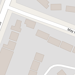
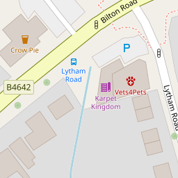

Leaflet © OpenStreetMap contributors
The heatmap indicates the level of crime in the area. The color of the heatmap indicates the crime severity and recency.
Metrics Year-on-Year
- Average area value
- 357,997.00 £Increased by 16.11 %
- Average area rental value
- 793.00 £/moDecreased by 20.62 %
- Est rental Yield
- 2.66 %Decreased by 31.62 %
- Crime Rate
- 4.00 %Unchanged by 0.00 %
from 308,331.00 £
from 999.00 £/mo
from 3.89 %
from 4.00 %
Nearby Schools
| Name | Type | Ofsted | Distance |
|---|---|---|---|
| St Oswald'S Cofe Academy | Academy Sponsor Led | Requires improvement | 0.66 KM |
| Crescent School | Other Independent School | 0.85 KM | |
| Henry Hinde Infant School | Academy Converter | Good | 1.15 KM |
| St Matthew'S Bloxam Cofe Primary School | Voluntary Controlled School | Requires improvement | 1.15 KM |
| Bilton Infant School | Community School | Good | 1.21 KM |
Images
Nearby Streets
| Name | Average Price | Average Sqft | Distance |
|---|---|---|---|
| St. Anne's Road | £ 250,000 | 0 | 0.00 KM |
| Somers Road | £ 0 | 0 | 0.00 KM |
| Laburnum Grove | £ 280,000 | 0 | 0.00 KM |
| Heather Close | £ 230,000 | 0 | 0.00 KM |
| Cunningham Way North | £ 0 | 0 | 0.00 KM |
Nearby Transport
| Name | NLC | TLC | Distance |
|---|---|---|---|
| Rugby | 1087 | RUG | 4.00 KM |
Nearby Listings
| Address | Price | Type | Score | Distance |
|---|---|---|---|---|
| Bilton Road, Bilton, Rugby | £ 219,950 | BUY | Unknown | 0.14 KM |
| Bilton Road, Rugby, CV22 | £ 225,000 | BUY | Unknown | 0.15 KM |
| Bilton Road, Bilton | £ 259,950 | BUY | 7 / 10 | 0.16 KM |
| Addison Road, Bilton | £ 240,000 | BUY | Unknown | 0.18 KM |
| Addison Road, Bilton, Rugby | £ 350,000 | BUY | 7 / 10 | 0.18 KM |
Nearby Properties
| Address | Price | Distance |
|---|---|---|
| 15 May Lane | £ 201,500 | 0.00 KM |
| 21 May Lane | £ 141,000 | 0.00 KM |
| 23 May Lane | £ 152,000 | 0.00 KM |
| 20 May Lane | £ 163,500 | 0.00 KM |
| 17 May Lane | £ 155,000 | 0.02 KM |