UN
10 Rhodfa Mynydd
£ 124,950
Description
We don't have a Description for this property.
- Bedrooms
- 3
- Bathrooms
- 0
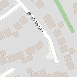


Leaflet © OpenStreetMap contributors
The heatmap indicates the level of crime in the area. The color of the heatmap indicates the crime severity and recency.
Metrics Year-on-Year
- Average area value
- 267,500.00 £Decreased by 0.99 %
- Average area rental value
- 1,107.00 £/moDecreased by 6.11 %
- Est rental Yield
- 4.97 %Decreased by 5.15 %
- Crime Rate
- 1.00 %Unchanged by 0.00 %
from 270,182.00 £
from 1,179.00 £/mo
from 5.24 %
from 1.00 %
Nearby Schools
| Name | Type | Ofsted | Distance |
|---|---|---|---|
| Ysgol Bryn Gwalia C.P. | Welsh Establishment | 0.63 KM | |
| Ysgol Glanrafon | Welsh Establishment | 1.22 KM | |
| Mold Alun School | Welsh Establishment | 1.28 KM | |
| Ysgol Maes Garmon | Welsh Establishment | 1.32 KM | |
| Ysgol Bryn Coch C.P. | Welsh Establishment | 1.58 KM |
Images
Nearby Streets
| Name | Average Price | Average Sqft | Distance |
|---|---|---|---|
| Linden Drive | £ 295,000 | 0 | 0.00 KM |
| Lon-y-berth | £ 0 | 0 | 0.00 KM |
| Maes Gwern | £ 150,000 | 0 | 0.00 KM |
| Maes Gwern | £ 390,000 | 0 | 0.00 KM |
| Cedar Grove | £ 150,000 | 0 | 0.00 KM |
Nearby Listings
| Address | Price | Type | Score | Distance |
|---|---|---|---|---|
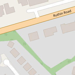
| Ruthin Road, Loggerheads, Mold | £ 465,000 | BUY | 7 / 10 | 0.15 KM |
| Ruthin Road, Mold | £ 595,000 | BUY | 6 / 10 | 0.17 KM |
| Ffordd Trem Y Foel, Mold, CH7 | £ 450,000 | BUY | 7 / 10 | 0.22 KM |
| Hafod Park, Mold | £ 290,000 | BUY | 7 / 10 | 0.25 KM |
| Hafod Park, Mold | £ 615,000 | BUY | 7 / 10 | 0.25 KM |
Nearby Properties
| Address | Price | Distance |
|---|---|---|
| 18 Rhodfa Mynydd | £ 273,000 | 0.00 KM |
| 6 Rhodfa Mynydd | £ 225,000 | 0.00 KM |
| 10 Rhodfa Mynydd | £ 124,950 | 0.00 KM |
| 17 Rhodfa Mynydd | £ 267,000 | 0.00 KM |
| 2 Rhodfa Mynydd | £ 288,000 | 0.00 KM |