UN
12 Pant Hill
£ 82,000
Description
We don't have a Description for this property.
- Bedrooms
- 2
- Bathrooms
- 0
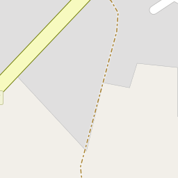
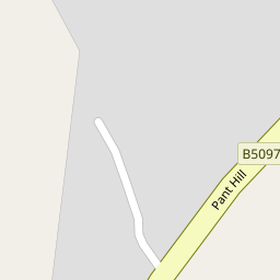
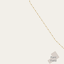


Leaflet © OpenStreetMap contributors
The heatmap indicates the level of crime in the area. The color of the heatmap indicates the crime severity and recency.
Metrics Year-on-Year
- Average area value
- 363,275.00 £Increased by 0.98 %
- Average area rental value
- 922.00 £/moDecreased by 1.28 %
- Est rental Yield
- 3.05 %Decreased by 2.24 %
- Crime Rate
- 2.00 %Unchanged by 0.00 %
from 359,732.00 £
from 934.00 £/mo
from 3.12 %
from 2.00 %
Nearby Schools
| Name | Type | Ofsted | Distance |
|---|---|---|---|
| Ysgol Hooson | Welsh Establishment | 1.12 KM | |
| Ysgol-Y-Grango | Welsh Establishment | 1.14 KM | |
| Ysgol Rhiwabon | Welsh Establishment | 2.14 KM | |
| Rhosymedre Community Primary School | Welsh Establishment | 2.94 KM | |
| Ysgol Maesyllan | Welsh Establishment | 3.05 KM |
Images
Nearby Streets
| Name | Average Price | Average Sqft | Distance |
|---|---|---|---|
| Poplar Avenue | £ 85,000 | 0 | 0.00 KM |
| Trem-y-Berwyn | £ 179,950 | 0 | 0.00 KM |
| Pinecroft | £ 0 | 0 | 0.00 KM |
| Caernarvon Terrace | £ 0 | 0 | 0.00 KM |
| Park Road | £ 219,975 | 0 | 0.00 KM |
Nearby Transport
| Name | NLC | TLC | Distance |
|---|---|---|---|
| Ruabon | 4477 | RUA | 2.60 KM |
| Wrexham General | 4487 | WRX | 7.91 KM |
| Wrexham Central | 4486 | WXC | 7.93 KM |
| Chirk | 4449 | CRK | 8.08 KM |
| Gwersyllt | 4300 | GWE | 8.68 KM |
Nearby Listings
| Address | Price | Type | Score | Distance |
|---|---|---|---|---|
| Osborne Street, Wrexham, LL14 | £ 140,000 | BUY | 5 / 10 | 0.32 KM |
| 23 Bryn Glas, Rhosllanerchrugog, LL14 | £ 220,000 | BUY | 6 / 10 | 0.33 KM |
| Bryn Glas, Rhosllanerchrugog | £ 230,000 | BUY | 6 / 10 | 0.35 KM |
| Bryn Glas, Rhosllanerchrugog, LL14 | £ 250,000 | BUY | 6 / 10 | 0.36 KM |
| Wern Lane, Rhosllanerchrugog, Wrexham | £ 85,000 | BUY | 5 / 10 | 0.36 KM |
Nearby Properties
| Address | Price | Distance |
|---|---|---|
| 20 Pant Hill | £ 76,000 | 0.00 KM |
| 2 Pant Hill | £ 77,000 | 0.00 KM |
| 12 Pant Hill | £ 82,000 | 0.00 KM |
| 6 Llys Y Pant | £ 215,000 | 0.08 KM |
| 66 Osborne Street | £ 155,000 | 0.14 KM |