UN
Avalon
£ 725,000
Description
We don't have a Description for this property.
- Bedrooms
- 3
- Bathrooms
- 0
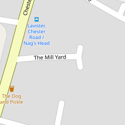
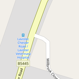

Leaflet © OpenStreetMap contributors
The heatmap indicates the level of crime in the area. The color of the heatmap indicates the crime severity and recency.
Metrics Year-on-Year
- Average area value
- 363,275.00 £Increased by 0.98 %
- Average area rental value
- 922.00 £/moDecreased by 1.28 %
- Est rental Yield
- 3.05 %Decreased by 2.24 %
- Crime Rate
- 16.00 %Unchanged by 0.00 %
from 359,732.00 £
from 934.00 £/mo
from 3.12 %
from 16.00 %
Nearby Schools
| Name | Type | Ofsted | Distance |
|---|---|---|---|
| Darland High School | Welsh Establishment | 0.60 KM | |
| St Peter'S Ciw Voluntary Controlled Primary School | Welsh Establishment | 0.88 KM | |
| Dodleston Cofe Primary School | Voluntary Controlled School | Good | 3.40 KM |
| The Rofft C.P. School | Welsh Establishment | 3.97 KM | |
| All Saints Primary School | Welsh Establishment | 5.55 KM |
Images
Nearby Streets
| Name | Average Price | Average Sqft | Distance |
|---|---|---|---|
| Millbrook Close | £ 0 | 0 | 0.00 KM |
| Castle Hill | £ 0 | 0 | 0.00 KM |
| Cobblers Lane | £ 500,000 | 0 | 0.00 KM |
| Gamford Lane | £ 0 | 0 | 0.00 KM |
| Alyn Way | £ 525,000 | 0 | 0.00 KM |
Nearby Listings
| Address | Price | Type | Score | Distance |
|---|---|---|---|---|
| 1 Chester Road, Rossett, Wrexham | £ 600,000 | BUY | 6 / 10 | 0.16 KM |
| Oaklands Court, Rossett, LL12 | £ 550,000 | BUY | 8 / 10 | 0.17 KM |
| Oaklands Court, Rossett, Wrexham | £ 550,000 | BUY | 8 / 10 | 0.18 KM |
| Chester Road, Rossett, Wrexham | £ 250,000 | BUY | 7 / 10 | 0.18 KM |
| Darland Lane, Rossett, LL12 | £ 380,000 | BUY | 6 / 10 | 0.32 KM |
Nearby Properties
| Address | Price | Distance |
|---|---|---|
| Avalon | £ 725,000 | 0.00 KM |
| Langdale | £ 241,000 | 0.00 KM |
| Alfreda | £ 390,000 | 0.00 KM |
| 19 Chester Road | £ 142,000 | 0.17 KM |
| Lilacs | £ 210,000 | 0.17 KM |