UN
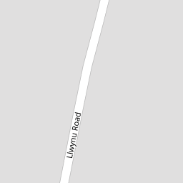
1 Llwynu Road
£ 199,950
Description
We don't have a Description for this property.
- Bedrooms
- 3
- Bathrooms
- 0
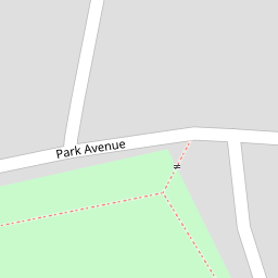

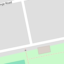
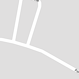

Leaflet © OpenStreetMap contributors
The heatmap indicates the level of crime in the area. The color of the heatmap indicates the crime severity and recency.
Metrics Year-on-Year
- Average area value
- 427,507.00 £Increased by 6.93 %
- Average area rental value
- 1,125.00 £/moIncreased by 0.27 %
- Est rental Yield
- 3.16 %Decreased by 6.23 %
- Crime Rate
- 15.00 %Unchanged by 0.00 %
from 399,788.00 £
from 1,122.00 £/mo
from 3.37 %
from 15.00 %
Nearby Schools
| Name | Type | Ofsted | Distance |
|---|---|---|---|
| King Henry Viii Comprehensive School | Welsh Establishment | 0.47 KM | |
| Ysgol Gymraeg Y Fenni | Welsh Establishment | 0.57 KM | |
| Our Lady & St Michael'S School | Welsh Establishment | 0.76 KM | |
| Deri View Primary | Welsh Establishment | 0.77 KM | |
| Cantref Primary | Welsh Establishment | 1.27 KM |
Images
Nearby Streets
| Name | Average Price | Average Sqft | Distance |
|---|---|---|---|
| Park Close | £ 0 | 0 | 0.00 KM |
| Springfield Road | £ 0 | 0 | 0.00 KM |
| St Mary's Road | £ 246,650 | 0 | 0.00 KM |
| Llwynu Lane | £ 0 | 0 | 0.00 KM |
| Park Crescent | £ 250,000 | 0 | 0.00 KM |
Nearby Transport
| Name | NLC | TLC | Distance |
|---|---|---|---|
| Abergavenny | 3602 | AGV | 1.42 KM |
Nearby Listings
| Address | Price | Type | Score | Distance |
|---|---|---|---|---|
| Park Avenue, Abergavenny | £ 375,000 | BUY | Unknown | 0.08 KM |
| Nursery Way, Abergavenny, NP7 | £ 385,000 | BUY | Unknown | 0.14 KM |
| Park Crescent, Abergavenny, NP7 | £ 525,000 | BUY | 8 / 10 | 0.15 KM |
| Park Avenue, Abergavenny, NP7 | £ 299,950 | BUY | 5 / 10 | 0.16 KM |
| Park Close, Abergavenny, NP7 | £ 390,000 | BUY | 7 / 10 | 0.18 KM |
Nearby Properties
| Address | Price | Distance |
|---|---|---|
| 1 Llwynu Road | £ 199,950 | 0.00 KM |
| 13 Llwynu Road | £ 154,950 | 0.01 KM |
| 41 Park Avenue | £ 262,000 | 0.14 KM |
| 57 Park Avenue | £ 250,000 | 0.14 KM |
| 14 Blorenge Road | £ 157,500 | 0.19 KM |