UN
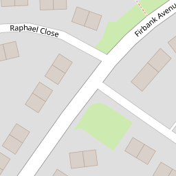
6 Firbank Avenue
£ 175,000
Description
We don't have a Description for this property.
- Bedrooms
- 3
- Bathrooms
- 0
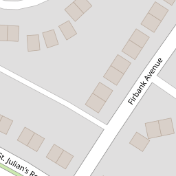
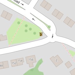

Leaflet © OpenStreetMap contributors
The heatmap indicates the level of crime in the area. The color of the heatmap indicates the crime severity and recency.
Metrics Year-on-Year
- Average area value
- 400,449.00 £Increased by 9.05 %
- Average area rental value
- 1,078.00 £/moDecreased by 1.73 %
- Est rental Yield
- 3.23 %Decreased by 9.78 %
- Crime Rate
- 1.00 %Unchanged by 0.00 %
from 367,227.00 £
from 1,097.00 £/mo
from 3.58 %
from 1.00 %
Nearby Schools
| Name | Type | Ofsted | Distance |
|---|---|---|---|
| Eveswell Primary School | Welsh Establishment | 0.91 KM | |
| St Julian'S School | Welsh Establishment | 1.16 KM | |
| St Joseph'S R.C. Primary School | Welsh Establishment | 1.29 KM | |
| Somerton Primary School | Welsh Establishment | 1.33 KM | |
| St Patrick'S R.C. Primary School | Welsh Establishment | 1.35 KM |
Images
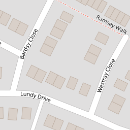
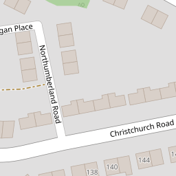
Nearby Streets
| Name | Average Price | Average Sqft | Distance |
|---|---|---|---|
| Raphael Close | £ 175,000 | 0 | 0.00 KM |
| Northumberland Road | £ 325,000 | 0 | 0.00 KM |
| Cardigan Place | £ 270,000 | 0 | 0.00 KM |
| Hayling Close | £ 240,000 | 0 | 0.00 KM |
| Vale View | £ 400,000 | 0 | 0.00 KM |
Nearby Transport
| Name | NLC | TLC | Distance |
|---|---|---|---|
| Newport (South Wales) | 3674 | NWP | 3.69 KM |
| Pye Corner | 1663 | PYE | 7.91 KM |
| Cwmbran | 3738 | CWM | 8.62 KM |
Nearby Listings
| Address | Price | Type | Score | Distance |
|---|---|---|---|---|
| Raphael Close, Newport, NP19 | £ 175,000 | BUY | 6 / 10 | 0.10 KM |
| The Raphael, Renaissance Point, Rodney Road | £ 159,950 | BUY | 6 / 10 | 0.10 KM |
| St. Julians Road, Newport, NP19 | £ 325,000 | BUY | Unknown | 0.14 KM |
| Lundy Drive, Newport - REF#00023365 | £ 240,000 | BUY | 6 / 10 | 0.14 KM |
| Northumberland Road, Newport, NP19 | £ 325,000 | BUY | Unknown | 0.24 KM |
Nearby Properties
| Address | Price | Distance |
|---|---|---|
| 29 Firbank Avenue | £ 110,000 | 0.00 KM |
| 6 Firbank Avenue | £ 175,000 | 0.00 KM |
| 11 Firbank Avenue | £ 150,000 | 0.00 KM |
| 12 Firbank Avenue | £ 189,000 | 0.02 KM |
| 3 Firbank Avenue | £ 223,000 | 0.02 KM |