UN
17 Seymour Rise
£ 180,000
Description
We don't have a Description for this property.
- Bedrooms
- 3
- Bathrooms
- 0
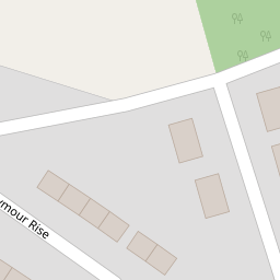

Leaflet © OpenStreetMap contributors
The heatmap indicates the level of crime in the area. The color of the heatmap indicates the crime severity and recency.
Metrics Year-on-Year
- Average area value
- 400,449.00 £Increased by 9.05 %
- Average area rental value
- 1,078.00 £/moDecreased by 1.73 %
- Est rental Yield
- 3.23 %Decreased by 9.78 %
- Crime Rate
- 163.00 %Unchanged by 0.00 %
from 367,227.00 £
from 1,097.00 £/mo
from 3.58 %
from 163.00 %
Nearby Schools
| Name | Type | Ofsted | Distance |
|---|---|---|---|
| Langstone Primary School | Welsh Establishment | 4.03 KM | |
| Llanmartin Primary School | Welsh Establishment | 5.14 KM | |
| Magor V.A. Primary School | Welsh Establishment | 5.60 KM | |
| Undy C.P. School | Welsh Establishment | 6.01 KM | |
| Rogiet C.P. School | Welsh Establishment | 9.19 KM |
Images
Nearby Transport
| Name | NLC | TLC | Distance |
|---|---|---|---|
| Severn Tunnel Junction | 3679 | STJ | 9.62 KM |
Nearby Listings
| Address | Price | Type | Score | Distance |
|---|---|---|---|---|
| Seymour Avenue, Penhow, Caldicot | £ 475,000 | BUY | 7 / 10 | 0.14 KM |
| Parc Seymour, Penhow, Caldicot | £ 500,000 | BUY | 7 / 10 | 0.20 KM |
| Greenmeadow Close, Penhow, Caldicot | £ 395,000 | BUY | 7 / 10 | 0.22 KM |
| Rockfield Glade, Penhow, Caldicot | £ 555,950 | BUY | 7 / 10 | 0.23 KM |
| Greenmeadow Close, Parc Seymour | £ 399,950 | BUY | Unknown | 0.25 KM |
Nearby Properties
| Address | Price | Distance |
|---|---|---|
| 17 Seymour Rise | £ 180,000 | 0.00 KM |
| 9 Seymour Rise | £ 155,000 | 0.02 KM |
| 5 Seymour Rise | £ 198,000 | 0.02 KM |
| 16 Seymour Rise | £ 200,000 | 0.02 KM |
| 6 Seymour Rise | £ 120,000 | 0.02 KM |