UN
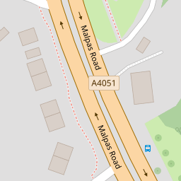
282 Malpas Road
£ 51,000
Description
We don't have a Description for this property.
- Bedrooms
- 3
- Bathrooms
- 0

Leaflet © OpenStreetMap contributors
The heatmap indicates the level of crime in the area. The color of the heatmap indicates the crime severity and recency.
Metrics Year-on-Year
- Average area value
- 849,704.00 £Increased by 27.83 %
- Average area rental value
- 2,643.00 £/moDecreased by 2.62 %
- Est rental Yield
- 3.73 %Decreased by 23.88 %
- Crime Rate
- 1.00 %Unchanged by 0.00 %
from 664,719.00 £
from 2,714.00 £/mo
from 4.90 %
from 1.00 %
Nearby Schools
| Name | Type | Ofsted | Distance |
|---|---|---|---|
| Newport High School | Welsh Establishment | 0.99 KM | |
| Malpas Park Primary School | Welsh Establishment | 1.33 KM | |
| Malpas Court Primary School | Welsh Establishment | 1.39 KM | |
| Crindau Junior & Infant School | Welsh Establishment | 1.49 KM | |
| St Mary'S R.C. Primary School | Welsh Establishment | 1.78 KM |
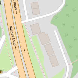
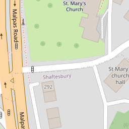
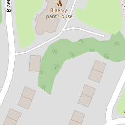
Images
Nearby Streets
| Name | Average Price | Average Sqft | Distance |
|---|---|---|---|
| Blaen-Y-Pant Avenue | £ 300,000 | 0 | 0.00 KM |
| Blaen-Y-Pant Place | £ 325,000 | 0 | 0.00 KM |
| Pinewood Close | £ 250,000 | 0 | 0.00 KM |
| Allt-Yr-Yn Crescent | £ 140,714 | 0 | 0.00 KM |
| Marconi Close | £ 190,000 | 0 | 0.00 KM |
Nearby Transport
| Name | NLC | TLC | Distance |
|---|---|---|---|
| Newport (South Wales) | 3674 | NWP | 2.01 KM |
| Pye Corner | 1663 | PYE | 4.31 KM |
| Cwmbran | 3738 | CWM | 5.79 KM |
| Rogerstone | 9921 | ROR | 6.54 KM |
| Risca And Pontymister | 9920 | RCA | 9.28 KM |
Nearby Listings
| Address | Price | Type | Score | Distance |
|---|---|---|---|---|
| Llanover Close, Newport | £ 280,000 | BUY | Unknown | 0.19 KM |
| Blaen Y Pant Avenue, Newport - REF #00007298 | £ 300,000 | BUY | 7 / 10 | 0.21 KM |
| Graig Park Circle, Newport, NP20 | £ 220,000 | BUY | 6 / 10 | 0.26 KM |
| Newport, NP20 | £ 150,000 | BUY | 7 / 10 | 0.30 KM |
| Graig Park Circle, Newport, NP20 | £ 210,000 | BUY | 6 / 10 | 0.31 KM |
Nearby Properties
| Address | Price | Distance |
|---|---|---|
| 272 Malpas Road | £ 3,400 | 0.00 KM |
| 276 Malpas Road | £ 125,000 | 0.00 KM |
| 282 Malpas Road | £ 51,000 | 0.00 KM |
| 275 Malpas Road | £ 335,000 | 0.19 KM |
| 277 Malpas Road | £ 290,000 | 0.19 KM |