UN
6 Brentfield
£ 124,000
Description
We don't have a Description for this property.
- Bedrooms
- 3
- Bathrooms
- 0
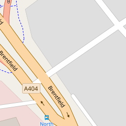
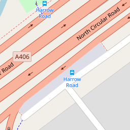

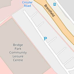


Leaflet © OpenStreetMap contributors
The heatmap indicates the level of crime in the area. The color of the heatmap indicates the crime severity and recency.
Metrics Year-on-Year
- Average area value
- 388,110.00 £Increased by 5.19 %
- Average area rental value
- 1,741.00 £/moDecreased by 3.44 %
- Est rental Yield
- 5.38 %Decreased by 8.19 %
- Crime Rate
- 8.00 %Unchanged by 0.00 %
from 368,969.00 £
from 1,803.00 £/mo
from 5.86 %
from 8.00 %
Nearby Schools
| Name | Type | Ofsted | Distance |
|---|---|---|---|
| Our Lady Of Lourdes Catholic Primary School | Voluntary Aided School | Good | 0.72 KM |
| St Raphaels Children'S Centre | Children's Centre | 0.83 KM | |
| The Stonebridge School | Community School | Good | 0.87 KM |
| Fawood Nursery School & Family Wellbeing Centre | Local Authority Nursery School | Good | 0.90 KM |
| Brentfield Primary School | Community School | Good | 0.93 KM |
Images
Nearby Streets
| Name | Average Price | Average Sqft | Distance |
|---|---|---|---|
| James Dudson Court | £ 375,000 | 0 | 0.00 KM |
| Macarthur Close | £ 0 | 0 | 0.00 KM |
| Barrs Road | £ 550,000 | 0 | 0.00 KM |
| Albert Terrace | £ 337,500 | 0 | 0.00 KM |
| Stonebridge Park | £ 350,000 | 0 | 0.00 KM |
Nearby Transport
| Name | NLC | TLC | Distance |
|---|---|---|---|
| Stonebridge Park | 1454 | SBP | 0.56 KM |
| Harlesden | 1521 | HDN | 1.68 KM |
| Wembley Stadium | 1509 | WCX | 2.02 KM |
| Wembley Central | 1423 | WMB | 2.99 KM |
| Acton Main Line | 3000 | AML | 3.00 KM |
Nearby Listings
| Address | Price | Type | Score | Distance |
|---|---|---|---|---|
| Marnham court, Harrow Road, Wembley | £ 275,000 | BUY | 6 / 10 | 0.27 KM |
| Harrow Road, Wembley, HA9 | £ 349,000 | BUY | 5 / 10 | 0.28 KM |
| Harrow Road, Wembley, HA0 | £ 300,000 | BUY | 7 / 10 | 0.30 KM |
| Wem Tower, 1 Harrow Road, Wembley, HA9 | £ 300,000 | BUY | Unknown | 0.36 KM |
| Harrow Road, Wembley, HA9 | £ 330,000 | BUY | 5 / 10 | 0.36 KM |
Nearby Properties
| Address | Price | Distance |
|---|---|---|
| 6 Brentfield | £ 124,000 | 0.00 KM |
| 7 Durand Way | £ 210,000 | 0.05 KM |
| 11 Durand Way | £ 220,000 | 0.05 KM |
| 3 Wyborne Way | £ 450,000 | 0.22 KM |
| 15 Wyborne Way | £ 245,000 | 0.22 KM |